End of historic US highway 152 |
 |
|
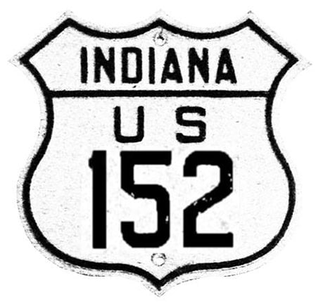
US 152 was approx. 151 miles in length.
|
|
US 152 was an ephemeral little highway: an intra-state route, less than 200 miles long, which lasted only about four years. Its north end was at the same intersection near St. John that now marks the north end of US 231.
I have not seen any evidence that US 152 was ever extended up to US 20 in Hammond, despite the fact that IN state hwy. 152 ends there: |
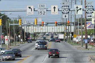
Hargraves, Nov. 2002
|
|
The south end of US 152 was in Indianapolis. It is unclear why it was dual-signed with US 52 from there to beyond Lafayette (a distance of about 70 miles). This map explicitly shows US 52 and 152 overlapped all the way into town on West Street, and barely visible is the label "End SR 34 and US 152" at the junction with US 40 (Washington Street):
|
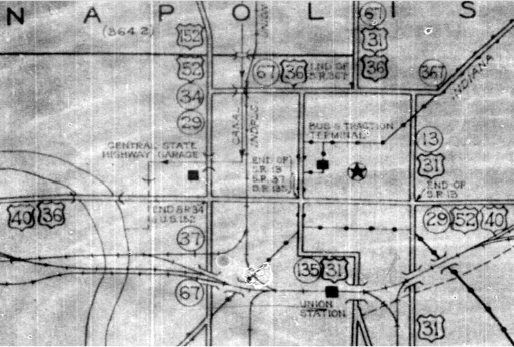
c. 1937, IN DoT
|
|
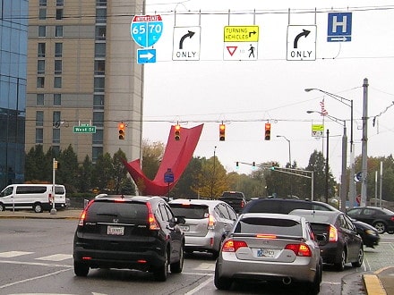
This interactive image is looking south on West St, and it shows a modern view from the perspective of a driver at the historic terminus of US 152; the crossroad (Washington) carried US 40:
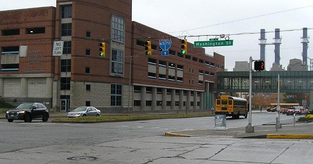
Morrison, Oct. 2019
|
Next is this view from westbound Washington, which carried eastbound US 40, as well as US 36. This was also US 52, which continued to the right. By the time 1934 rolled around, that right turn also marked the south beginning of US 152:
Morrison, Oct. 2019
|
Research and/or photo credits: Nathan Edgars; Don Hargraves; Jeff Morrison; Dale Sanderson; Michael Summa
Page originally created 2002;
last updated Dec. 9, 2023.
last updated Dec. 9, 2023.
