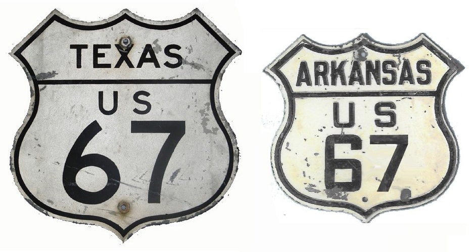
End of US highway 67 |
|
1926-1929
|
1929-1934
|
1934-1967
|
1967-present
|
|
Mileage: in 1989 AASHTO listed a figure of 1576 miles for US 67... however, that included the mileage of US 67's associated business/bypass/alternate routes. According to the state subtotals on AASHTO's 1989 spreadsheet, mainline US 67's actual end-to-end total at the time was 1560 miles. That is reasonably close to our own 2020 measurement, which yielded 1547.4 miles (reroutings and realignments likely explain the difference).
|
At its maximum historic extent to Dubuque, US 67 was 1590.9 miles long.
|
US 67 was an original 1926 route, though at the time it was significantly shorter than it is today. Looking at a modern map, one might well question why its north end was in Fredericktown...
|
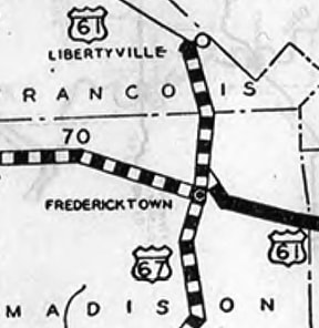
Originally US 61 did not run through Perryville between St. Louis and Cape Girardeau. Instead, it essentially followed today's US 67 corridor from St. Louis to Fredericktown; and then modern MO hwy. 72 from Fredtown to Cape G. So there was no reason for US 67 to go any further than Fredtown:
|
|
At the time, US 67 came into town from the south via Main Street (Business 67 today). North of the courthouse, it would be reasonable to assume US 67 used Lincoln Drive to connect with US 61 (today's MO 72), but that bridge over Saline Creek was not built until 1931. So US 67 must have used Mine La Motte Avenue, crossing the creek via a bridge that no longer exists, and connecting with MO 72 in what is now a little "suburb" to the north called Junction City. This map appears to agree with that theory:
|
|
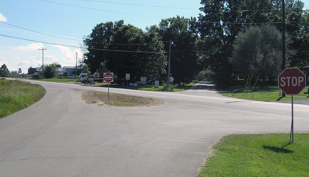
But actually the MO 72 bridge over Village Creek was not built until 1929, so prior to that, US 61 traffic ran just to the east, on what is now County Road 211, or Village Creek Road. This image was taken looking south on CR 211 at the junction with MO 72:
|
That was southbound on US 61, which continued by curving to the left on today's MO 72. Straight ahead on Mine La Motte was the north beginning of US 67. Starting in 1929, US 61 ran diagonally across that image, using MO 72 all the way, but US 67 still began straight ahead, and regardless, that is right about the same time US 67 was extended north to Davenport.
|
|
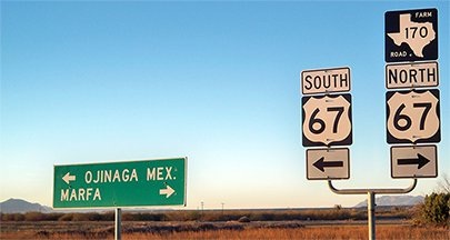
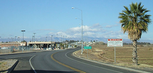
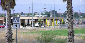
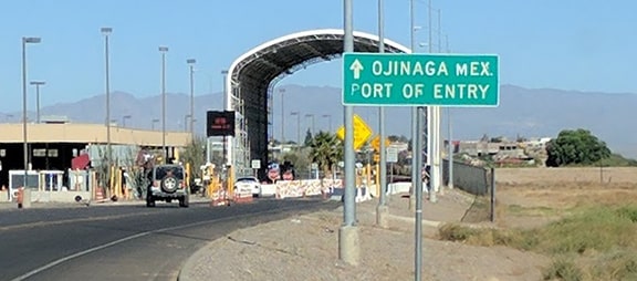
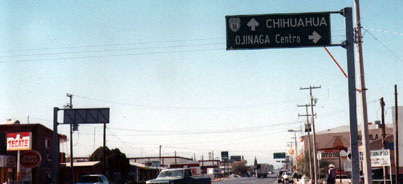
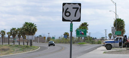
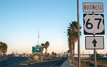
The south end of US 67 was originally in Dallas, but already by 1930 the route had been extended to the Mexico border at Presidio. Until about 1988 the border crossing was in a different location, slightly to the south of the current terminus. Today US 67 bypasses the central part of Presidio, and border traffic has been rerouted to a newer crossing. The last southbound sign is a mile or two north of the border, but southbound signage also exists at the south end of Business 67, which is essentially right at the customs area:
|
In the foreground the American customs facility is visible; just around the bend is the bridge into Mexico. The snow-capped peaks in the distance are the Sierra del Hueso. Note the gore at lower left -- we will see that again in a photo below -- but first, some closeups of the south end...
|
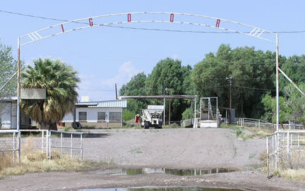
The gore just ahead is the same one visible in that photo we saw above. Mainline US 67 now continues by curving to the left. The road to the right connects with original US 67 about a quarter-mile ahead: the junction of O'Reilly Street and Thompson Street. Thompson carried US 67 traffic south to Bridge Street, which in turn led to the original border crossing. That has been vacated now, and Bridge leads only to a property that is apparently still owned by the federal government, but is perhaps leased to a private company...
|
|
...but that building with the covered pull-through looks like it may have been the old customs building. If you know for sure, and/or if you know what word(s) used to be in that archway, please contact usends.com.
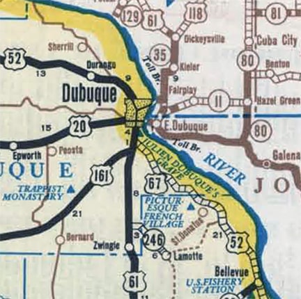
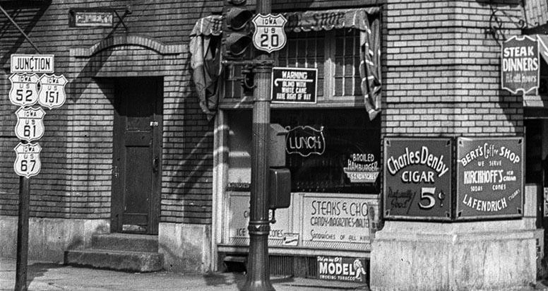
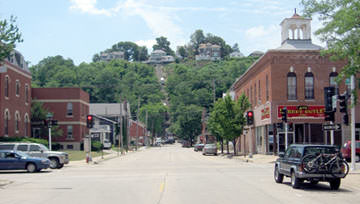
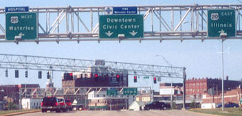
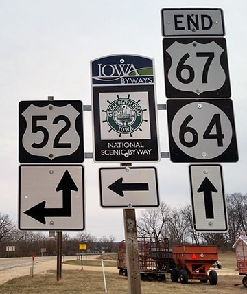
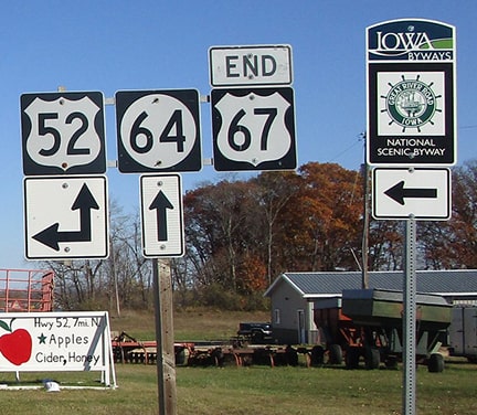
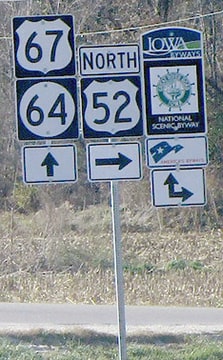
About four years later, in 1934, the north end of US 67 was extended again, this time to Dubuque: |
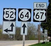
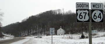
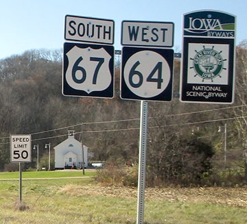
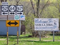
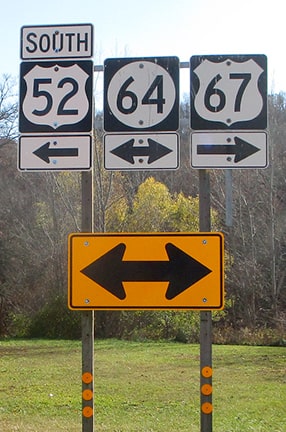
Larger versions of these photos (as well as others from this junction) can be viewed on Jeff Morrison's page.
Research and/or photo credits: Joe Balsarotti; Jake Bear; Monte Castleman; Paul Dienhart; Chris Elbert; Bill and Joey Gatchell; Jason Hancock; Karin and Martin Karner; Jeff Morrison; Alex Nitzman; Mike Roberson; Dale Sanderson; Michael Summa; Cary Todd
Page originally created 2000;
last updated May 21, 2024.
last updated May 21, 2024.
