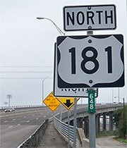
End of US highway 181
|
Mileage: in 1989 AASHTO listed a figure of 149 miles for US 181... however, they seemed to think the route ended north of downtown San Antonio, but I have not seen any evidence that was ever the case. As far as I know, US 181 never went any farther north than the Plaza, and at that time it was about 146 miles long. But by 1989 it had long since been truncated to the south edge of the city, and our own 2020 measurement yielded 135.9 miles.
|
|
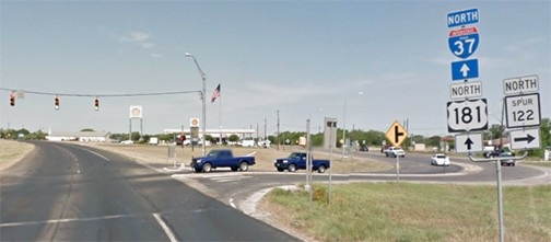
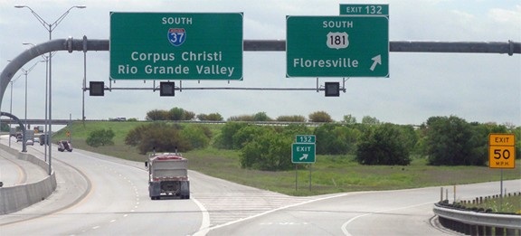
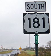
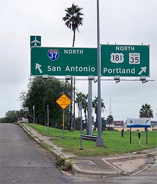
Historically, before I-37 was built, US 181 extended a few miles further northwest from its current terminus on the outskirts of San Antonio. Today, heading northbound just before its terminus, travelers come to this junction:
|
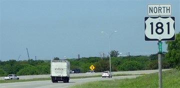
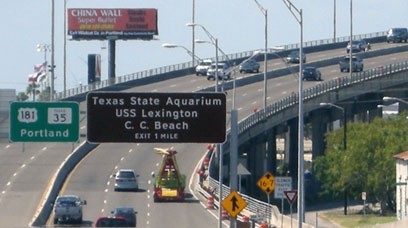
It seems a little odd to have a trailblazer there, since that is the merge point with I-37. These photos were taken looking south on I-37:
|
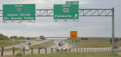
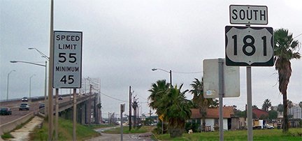
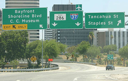
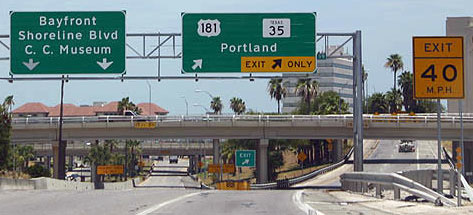
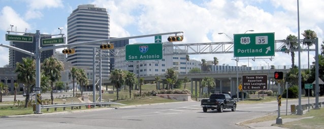
That was posted after the on-ramp from Burleson Street. Just ahead is the elevated portion that aligns with the Harbor Bridge, which carries traffic over the Corpus Christi Industrial Channel and into the downtown area. There, US 181 does not have an obvious endpoint, as the highway simply curves a bit and transitions into I-37. However, this sign bridge shows one's options at the south terminus:
|
|
Likewise, heading north on Carancahua Street, signage indicates the south terminus of both routes:
|
To the left is an overpass that leads to a frontage road for I-37. To the right, Carancahua becomes an on-ramp for US 181. Drivers heading that direction will see the first confirming marker in the form of a BGS...
|
Before all these freeways and the Harbor Bridge were built, US 181 ended at a different location; more info and photos on the Corpus Christi page.
Research and/or photo credits: Robert Brooks; Karin and Martin Karner; JP Nasiatka; Dale Sanderson; Michael Summa; Stephen Taylor; Kevin Trinkle; Mike Wiley
Page originally created 2000;
last updated Nov. 26, 2021.
last updated Nov. 26, 2021.
