Historic US highway endpoints in Savannah, GA
|
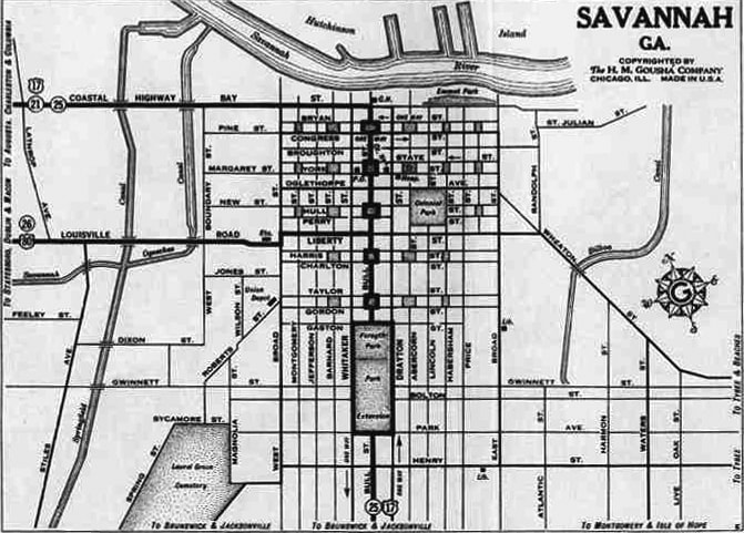
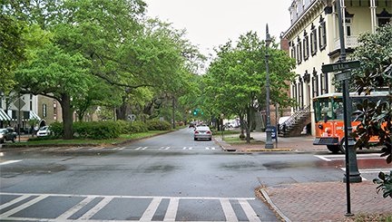
In the same year that map was made, the US 280 designation was commissioned, also with its east terminus in Savannah. It overlapped with US 80 along a 20-mile segment and into the city, and both routes ended at their junction with US 17. This photo was looking west on Liberty Street:
|
|
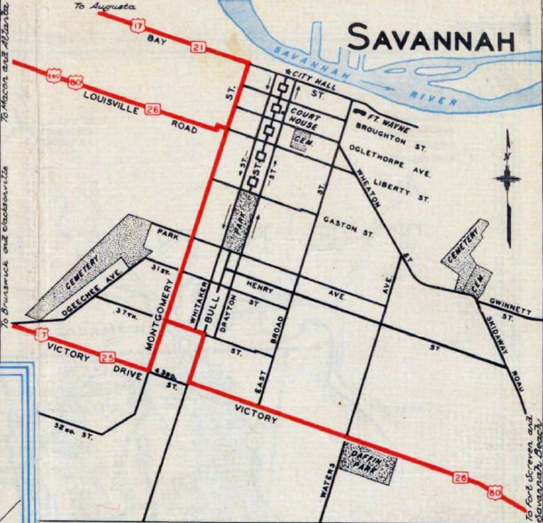
As shown on the map above, Bull Street (the crossroad) carried US 17, and straight ahead was the original east beginning of US 80. Since US 280 was assigned that same year, it is likely that both routes began ahead.
US 80 was extended east the following year, so that was probably the only Savannah terminus for that route. But US 17 traffic was switched over to Montgomery Street in about 1936, so US 280 was truncated by about four blocks, such that it ended ahead on Liberty at Montgomery: |
|
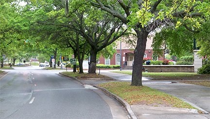
This photo was also looking west on Liberty. This intersection has since been slightly reworked, so that Liberty veers left in order to tie directly into Louisville Road ahead. But originally Liberty continued straight ahead, right through the location of the brick building in the middleground. That building is on the west side of Montgomery, so that is where US 280 began:
|
After one more block, Liberty ended at today's MLK Blvd. US 280 then jogged left for a half-block before resuming west again on Louisville.
Research and/or photo credits: Martin Karner; Dale Sanderson
Page originally created 1999;
last updated July 29, 2016.
last updated July 29, 2016.


