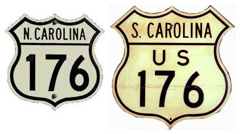
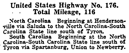
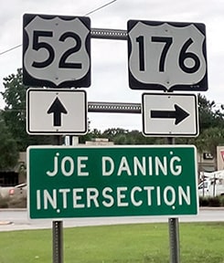
End of US highway 176 |
Mileage: in 1989 AASHTO listed a figure of 232 miles for US 176... however, that included the mileage of US 176's associated business route. According to the state subtotals on AASHTO's 1989 spreadsheet, mainline US 176's actual end-to-end total at the time was 229 miles. Possibly there have been some reroutings since then, because our own 2020 measurement yielded 237.2 miles.
|
|
The western terminus of US 176 has been in Hendersonville since the beginning. Approaching downtown, initially the highway departed today's routing via the Old Spartanburg Road (which went north on Grove Street and then west on Barnwell Street). US 176 ended at Main Street (which carried US 25 at the time). This interactive image is looking west on Barnwell:
|
|
|
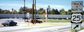
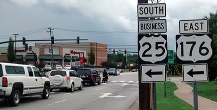
Not much to look at today, but that was the initial US 176, which ended at the signal. Then in about 1937, US 176 traffic was rerouted along New Spartanburg Road, which intersects Main about five blocks south (left) of Barnwell. This photo shows where US 176 ends: at its junction with Main (which was originally US 25), just south of where it route splits into one-way pairs downtown:
|
|
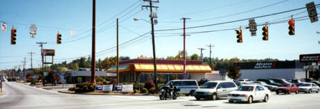
No "End" sign, and it is unclear why the northbound 25 sign said "Truck" -- no other US 25 signs in the area included a "Truck" tab. In addition to US 176, Spartanburg also carries Business 25, which continues to the north (right) on Main. At any rate, the "Truck" assembly was gone by 2017, and in fact no route signage whatsoever was posted heading that direction. This shot was taken across from the west beginning of US 176 (from the shopping center parking lot visible in the previous photo):
|
|
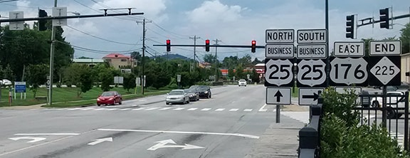
The cars at right were northbound on historic US 25 (now NC hwy. 225); US 176 begins by heading off into the distance at left along New Spartanburg Road. Business 25 is also ahead, as well as to the left. By 2017 the spanwire had been replaced, and a US 176 marker was posted on a signal mast arm instead.
This photo was looking south on Main; Business 25 continues to the left, and that is also the west beginning of US 176: |
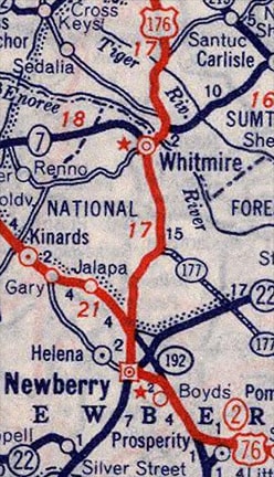
Later US 76 was changed to follow its current bypass (Wilson Road), and then south via College (as shown on the previous map). But even then, it is likely that US 176 did not end at the junction of Wilson and College; instead it was probably overlapped with US 76, ending at the same intersection pictured above.
|
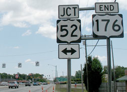
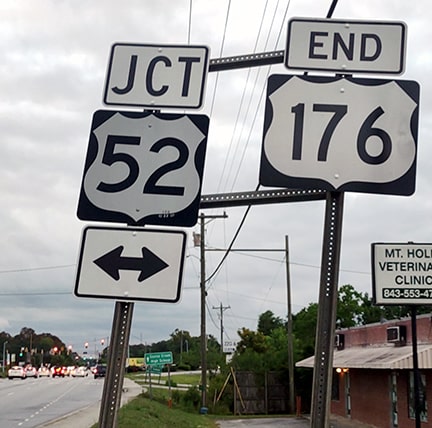
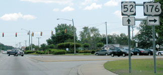
In 1950, the US 176 designation was removed from those first eight miles heading out of Newberry, and US 176 was instead extended eastward along its current route, to its terminus at the junction with US 52 in Goose Creek. This photo was taken from southeastbound St. James Avenue; ahead is Goose Creek Boulevard, which serves as US 52; downtown Charleston is about 15 miles to the right:
|
Research and/or photo credits: Kevin Boyd; Alex Nitzman; Mike Roberson; Dale Sanderson; Michael Summa; Charles Turner; Morgan Younce
Page originally created 2000;
last updated Dec. 9, 2023.
last updated Dec. 9, 2023.
