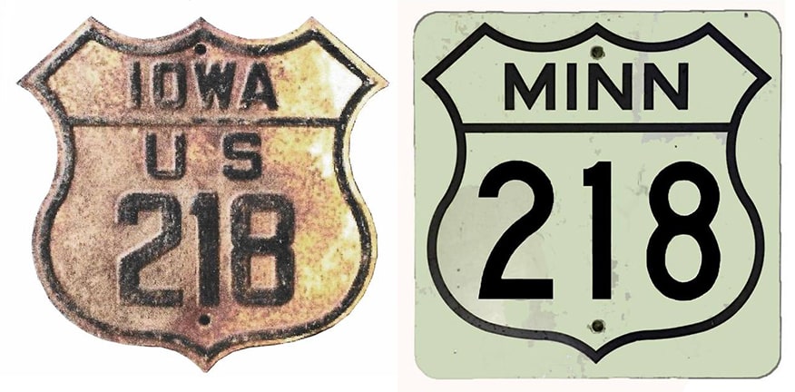
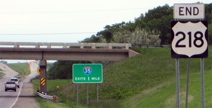
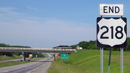
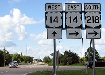
End of US highway 218 |
Mileage: in 1989 AASHTO listed a figure of 319 miles for US 218. That almost exactly matches our own 2020 measurement, which yielded 319.3 miles.
|
|
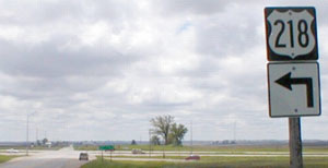
This photo was looking south on US 218 at US 30 (Vinton is about 13 miles behind the camera):
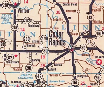
The green sign in the distance says 19 miles to Cedar Rapids (left) and 29 miles to Tama (right). Historically US 218 ended there, but in 1937 it was extended by overlapping east with US 30 to Cedar Rapids. From there, it replaced a 100+ mile segment of what had been US 161, heading south through Iowa City to Keokuk.
|
|
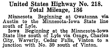
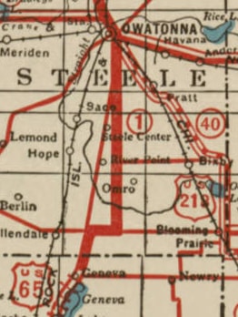
The reverse would have been better: keep the US 161 designation and extend it north, replacing US 218. US 218 is a somewhat irregular designation, because it implies a branch of an east/west route, even though the highway actually runs north/south. "US 265" also would have made sense, and some early maps of Minnesota actually showed it that way. This one had the US 218 designation ending at the Iowa line, becoming US 265 in Minnesota and ending at its junction with US 65 in Owatonna:
|
However, that was an early map, and the road was never actually signed that way. Instead, for some reason, it was the US 218 designation that prevailed:
|
|
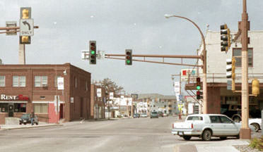
In Owatonna, US 65 was most likely routed on Oak Avenue, so US 218 originally would have begun to the east on Main Street, overlapped with US 14. In this photo, the view is to the north on Oak, which was US 65. Eastbound US 14 came towards the camera on Oak, then continued right on Main. Also to the right was the north beginning of US 218:
|
More information and views of that intersection are available on this Iowa Highway Ends page.
|
|
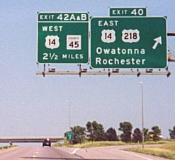
In 1934 there were a couple proposals to extend the US 218 designation north either to Brainerd or to the Fargo area, but AASHO never approved that, and the road was never signed any farther north than St. Paul, and probably never even north of Owatonna. Even if it was, that would have lasted for only about a year anyway, before the north end was once again returned to its former location in Owatonna. By the mid-1960s, when I-35 had been built through the Owatonna area, US 14-218 traffic was rerouted onto a bypass south of town. Since then, the north end of US 218 has been at I-35's interchange 40:
|
|
That was heading west at the north end of US 218. At the time, for drivers going straight, there was a sharp curve to southbound I-35, and by 2006 there was a yellow "30 MPH" strip added to that left panel. In 2012, significant changes were made at that interchange. Most notably, US 14 now continues straight ahead, along a new expressway segment (instead of joining northbound I-35).
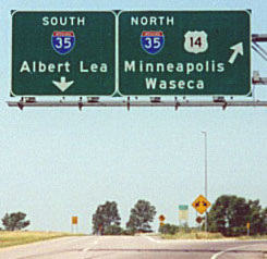
This photo was taken heading north on I-35 at the north beginning of US 218: |
|
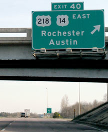
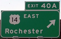
That sign has changed, too: there is no longer any reference to US 218 on those signs. The only mention now is a single sign that instructs US 218 traffic to follow US 14 east. For some reason, when the US 14 expressway was extended west from there, MNDoT made some changes to the signs that referenced US 218. They did not ask AASHTO to truncate US 218, but the changes to signage in this area suggested that the agency had cut the route back to its junction with County 45 (and historic US 65). Heading the opposite direction (south on I-35), the exit for the beginning of US 218 formerly looked like this...
|
...but again, that has changed as well:
|
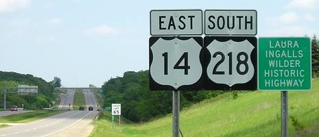
(Note that it is actually US 14 [not US 218] that is designated as the LIW Highway in Minnesota (and South Dakota too), because that road happens to go past a few LIW historic sites.) Later that assembly was replaced, and for a few years it read "TO US 218". The overpass in the distance is CSAH 45. The marker on the far side of that interchange says "South US 218", and then after another couple miles US 218 splits off from US 14. For traffic heading the opposite direction (west on US 14-218), this sign was posted at County 45:
|
Kind of a strange location for that sign, considering that the official endpoint is at I-35, a mile ahead. Maybe the thought was that this would reduce sign clutter at the interchange. But then, why duplex US 218 with US 14 at all? Why not just end it at the junction with US 14? Instead, it seemed as if MNDoT had been very intentional about making CSAH 45 the terminus for US 218 signage. As another example, for motorists on CSAH 45, US 218 was posted only to the east:
|
It is interesting to note that CSAH 45 originally carried US 65 traffic. But it is unlikely that was a factor in MNDoT's decision to truncate US 218 signage to that junction.
US Ends .com contacted MNDoT about this issue in 2017. They responded that it was a mistake and they were working on fixing it. The work was probably completed that same year, but the first eyewitness confirmation we received was in early 2018. |
Research and/or photo credits: David Backlin; Monte Castleman; Dan Drackley; Jason Hancock; Jeff Morrison; Alex Nitzman; Ben Prusia; Steve Riner; Dale Sanderson; Michael Summa
Page originally created 2001;
last updated Nov. 29, 2023.
last updated Nov. 29, 2023.
