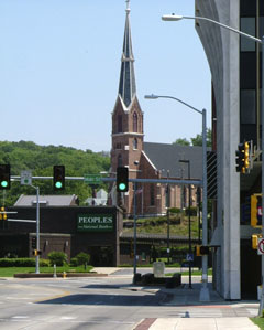
Historic US highway endpoint in Council Bluffs, IA
|
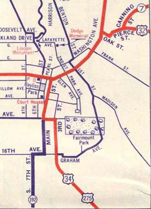
This historic map of Council Bluffs shows all of the US routes that ever ended there (US 32, US 34, and US 275):
|
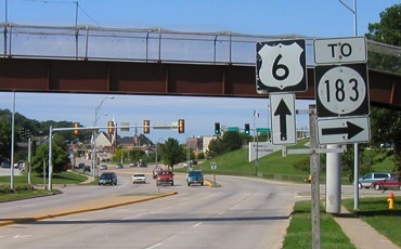
It is remarkable that a map which illustrates all three of those routes even exists, because November 1931 was the only month that Council Bluffs was served by both US 32 and US 275. The road coming in from the north and going off to the left is US 30-75, or Broadway. The alignments of these roads have changed quite a lot over the years, and the junction where US 32 ended no longer exists. Also, neither US 6 nor US 30 nor US 75 traffic is routed through downtown Council Bluffs anymore. This shot was looking west on Kanesville Boulevard (prior to 2017, which is when US 6 traffic was rerouted along the interstates):
|
|
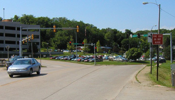
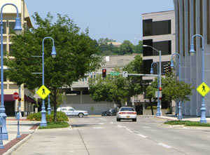
That segment of road (on this side of the traffic signal) did not exist during the time when US 32 came through here. The cars at far right are at what is today the south end of North Broadway. But originally that was just "Broadway", and the road made a gentle curve away from the camera at this point, continuing straight ahead on Broadway. That was the routing of old US 30-75. US 32 came in from the left, following roughly the same line as today's pedestrian overpass, ending off to the right of the photo, at the intersection with North Broadway. This next photo is looking south on North Broadway. This was US 30-75, which continued by curving to the right on Broadway. Right about there, to the left on Oak Street was the west beginning of US 32:
|
|
Meanwhile, from Glenwood IA, instead of crossing the Missouri to Plattsmouth NE (as it does today), US 34 headed north and west (along what later became US 275) toward Council Bluffs. While today US 275 turns west to cross the Missouri via the South Omaha Bridge, historically both it and US 34 continued north of there, on what is now called Harry Langdon Blvd, or "Old Highway 375". The routes terminated at their junction with Broadway -- which formerly carried US 6, but before that was both US 75 and US 30, and even before that, the Lincoln Highway. Here is a shot showing that endpoint:
|
Research and/or photo credits: Neil Bratney; Jeff Morrison; Dale Sanderson
Page originally created 2000;
last updated Oct. 8, 2019.
last updated Oct. 8, 2019.
