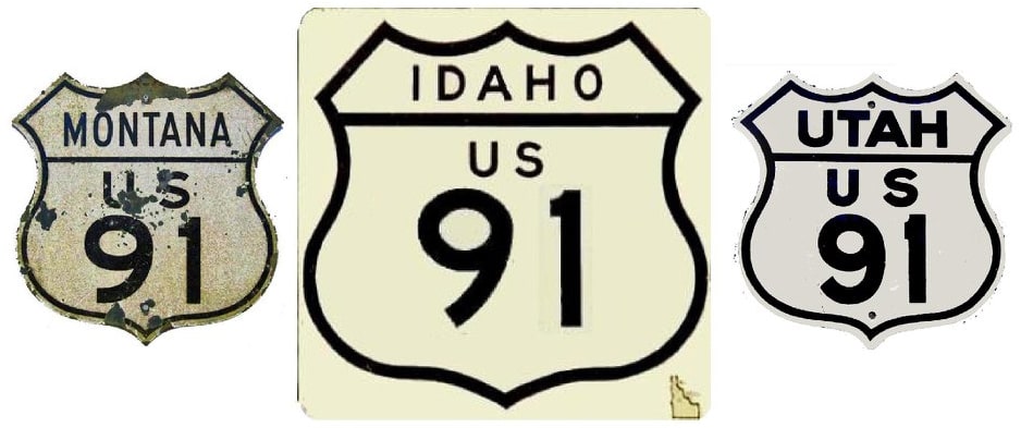
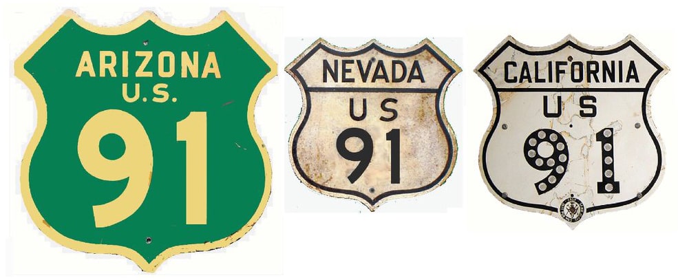
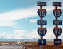
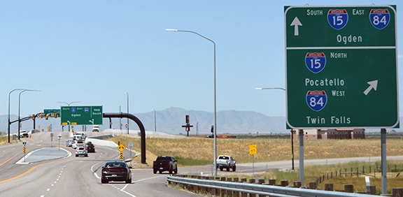
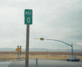
End of US highway 91 |
|
1926-1930
|
1930-1934
|
1934-1947
|
1947-1966
|
|
1966-1974
|
1974-1978
|
1978-present
|
|
Mileage: in 1989 AASHTO listed a figure of 169 miles for US 91... however, that included the mileage of US 91's associated business routes. According to the state subtotals on AASHTO's 1989 spreadsheet, mainline US 91's actual end-to-end total at the time was 163 miles. That closely matches our own 2020 measurement, which yielded 167.6 miles (reroutings and realignments likely explain the difference).
|
|
US 91 is tragic figure in the story of US highways. It was an original 1926 route, running for over 1300 miles from US 66 in the Mohave Desert to Great Falls. Later both ends were extended, such that it ran from Long Beach all the way up to the Canada border at Sweetgrass, for a total of 1431 miles. But the advent of the interstate highways pretty much spelled its doom: I-15 completely wiped it out north of Idaho Falls -- and even for its first 100 or so miles south of Idaho Falls, it is a little-used road because it is still in the shadow of I-15. As of 2020, the total length of US 91 was less than 10% of its historic maximum extent.
|
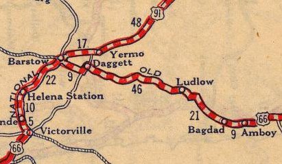
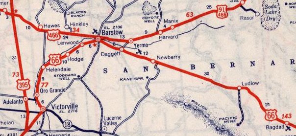
The 1927 route log defined Daggett CA as the southern terminus of US 91. If it ever really ended there, though, it was not for long; maps as early as 1927 were already showing the terminus at Barstow, so it is possible that the entry for "Daggett" was in reference to a preliminary plan:
|
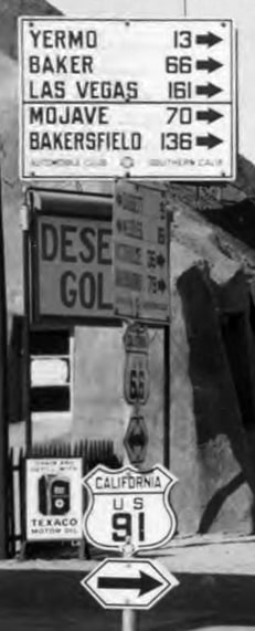
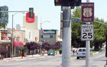
This next photo (from 1931) was taken from westbound US 66 in Barstow (Main Street), showing the south beginning of US 91 to the right on 1st Avenue:
|
|
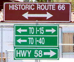
That serves as a commentary on decommissioned routes in California: US 66 to the right (west) is now I-15, and US 66 to the left (east) was replaced by I-40. I-15 to the left (north) was originally US 91, and CA hwy. 58 was formerly US 466:
|
|
In this next photo we are looking east on Main; the south beginning of US 91 was to the left:
|
In 1947 the US 91 designation was extended south from Barstow with US 66; see the Long Beach page for details about its endpoint. The terminus remained there for nearly 20 years before CalTrans deleted the US 91 designation from the state (officially it terminated in Baker, but I suspect CalTrans actually removed US 91 signage all the way to the Nevada border).
|
In 1974 California, Nevada, Arizona and Utah jointly petitioned AASHTO to decommission hundreds of miles of US 91: everywhere it was concurrent with (or had effectively been replaced by) I-15. Following is that agenda item from the minutes of the June 1974 meeting:
|
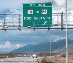
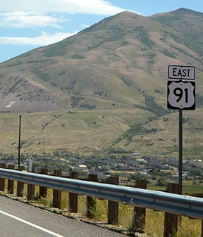
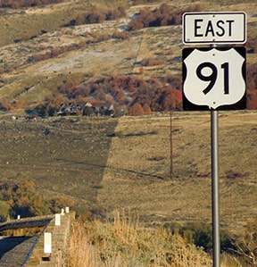
It is true the highway temporarily heads east there, but US 91 should be signed as a north-south route. That was installed about 2013-14; prior to that there was no US 91 reassurance until its junction with US 89:
|
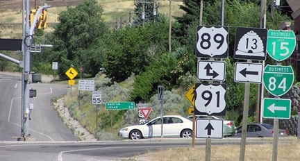
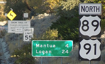
Since then confirming shields for US 89 and 91 have been added to the far side of the intersection, and that is where US 91 begins to be signed "North" (instead of "East"):
|
|
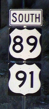
Heading the opposite direction, the last US 91 marker signed as "South" was posted immediately after the offramp that leads to U-90 and downtown Brigham City:
|
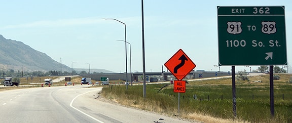
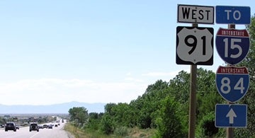
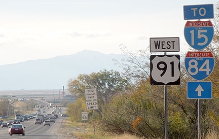
Two miles ahead we reach the junction with US 89, where US 91 becomes 1100 South Street. Just past that intersection there was one last southbound US 91 marker, but it was signed as "West":
|
...however, that junction was recently converted to a diverging diamond interchange, and the west side of the junction has been opened to development, so it looks quite a bit different today.
|
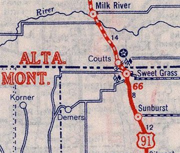
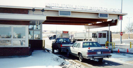
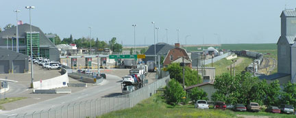
For info about the original north end of US 91, please see the Great Falls page. In 1934 the designation was extended north to the Canada border. This portal is known as Sweet Grass in Montana, but in Alberta it is called Coutts:
|
That is the north end of I-15, and also what was once the north end of US 91. By 1978, I-15 north of Idaho Falls was almost entirely complete through Montana to the Canada line. Presumably that is why, rather than co-signing US 91 with I-15, Idaho and Montana sought AASHTO's approval to truncate it to its current northern terminus. Permission was granted at their meeting in October of that year:
For the next 25 years or so, the designation did not quite make it even to Idaho Falls -- rather, it ended a couple miles south of the city, where it junctioned with 65th Street South (which was the original routing of US 26 and Business Loop I-15... more info on the Idaho Falls page).
|
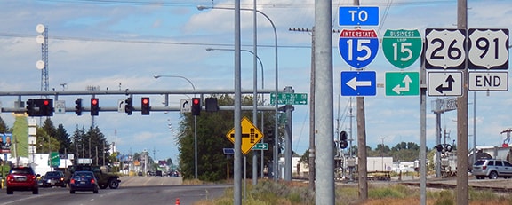
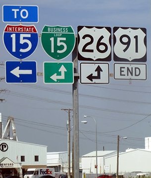
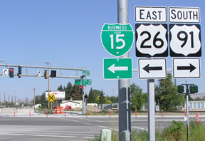
In 2006, Sunnyside Road was extended west via a new bridge over the Snake River, and on to I-15, where a new interchange was built. Sunnyside (the equivalent of 33rd Street South) is two miles north of 65th, and when the new road was complete, the US 26/Business 15 designations were changed to follow Sunnyside instead of 65th. So the US 91 designation had to be extended two miles north of its former terminus:
|
|
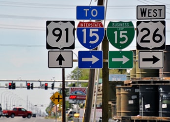
That is US 26/Business 15, which continue to the left on Yellowstone. To the right is the north beginning of US 91. The town of Shelley is about six miles that direction, but it is not until way on the other side of Pocatello, at Virginia ID, that I-15 finally leaves this corridor, and US 91 gets to serve Preston ID and Logan UT on its own terms. That 60-mile portion is really its only remaining "necessary" segment, because south from Logan, US 91 is overlapped with US 89 down to Brigham. Here is the perspective looking south on Yellowstone (south on Business 15/west on US 26). Those routes turn to the west on Sunnyside, while straight ahead is the beginning of US 91:
|
|
In its heyday before I-15, US 91 continued south from Brigham, together with US 89 along the Wasatch Front: through Ogden and Salt Lake, to the Provo area. There the two routes split to serve opposite sides of Utah's San Pitch, Pavant, and Tushar mountain ranges. US 91 went through Nephi, Fillmore, Beaver, Cedar City, and St. George: all on today's I-15. A relatively significant segment of old 91 (still drivable) used a different route than modern I-15 between St. George and Littlefield AZ. Then on to Las Vegas NV, and into California: Barstow, San Bernardino, Riverside, and Long Beach.
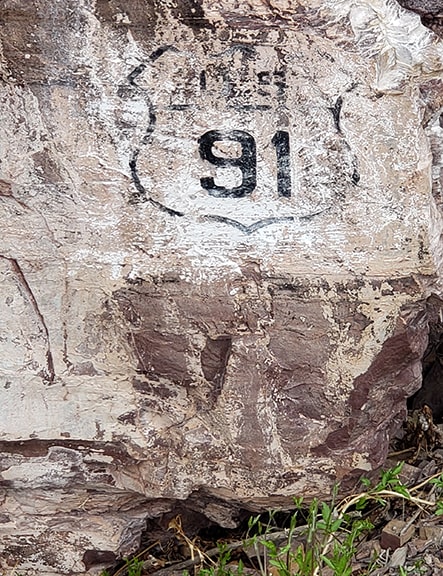
The length of modern US 91 is only about one-tenth of its historic extent. And its branch highway, US 191, is now over ten times longer than US 91. If one were to try and drive historic US 91 from end to end, they would be hounded by I-15 for nearly the entire journey. Like several of the other truly great routes, US 91 has been dubiously "honored" with obsolescence due to the construction of parallel interstate highways. This last photo shows a ghost of US 91 along one of its historic segments in Montana. In lieu of erecting a signpost, this US 91 shield was painted on a rock wall along the edge of the highway (date uncertain, but probably around 1940). The US 91 designation was rerouted off this segment around 1970, and it was completely removed from Montana in 1980, but this relic bears witness to US 91's historic presence there. |
Research and/or photo credits: Joseph Barnes; Chris Elbert; Bruce Kasprzyk; Joe Maloney; Alex Nitzman; Nick Rich; Mike Roberson; Dale Sanderson; Dan Stober; Michael Summa; "wbaron"
Page originally created 2000;
last updated Jul. 19, 2024.
last updated Jul. 19, 2024.
