US highway endpoint in International Falls, MN
|
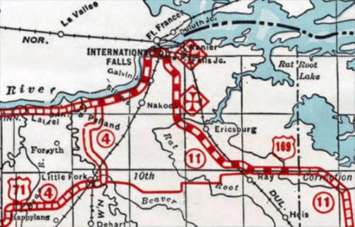
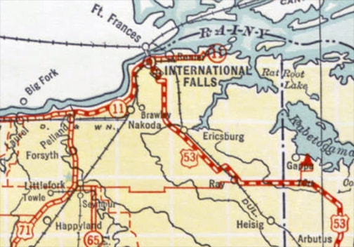
International Falls is an important logging center, and it is the location of a major border crossing between the U.S. and Canada. Not surprisingly, it has been served by the US highway system since the beginning:
|
|
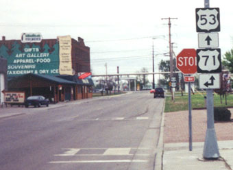
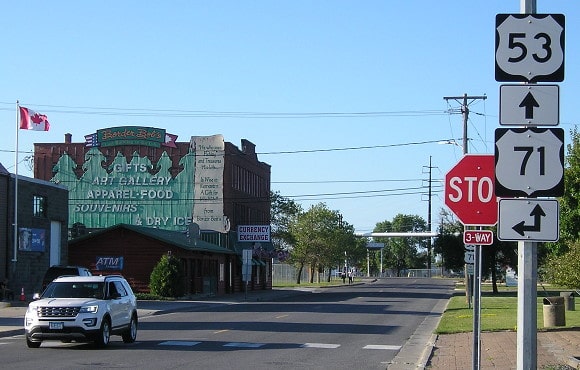
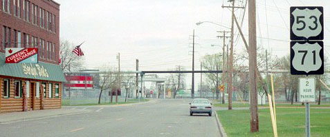
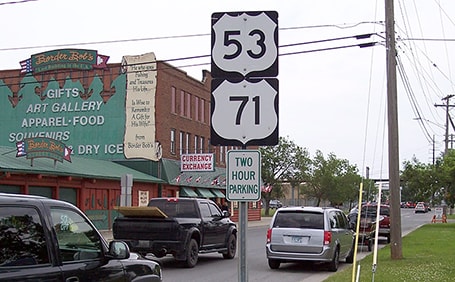
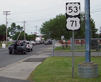
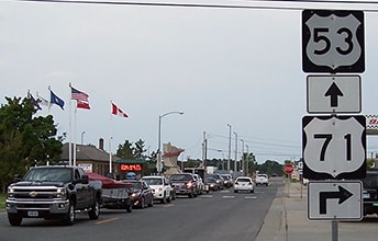
Northbound US 71 comes in from the left on 3rd St, then continues ahead with US 53 on 2nd Av. Here, the signage visible behind the stop sign is shown close-up:
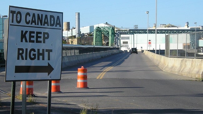
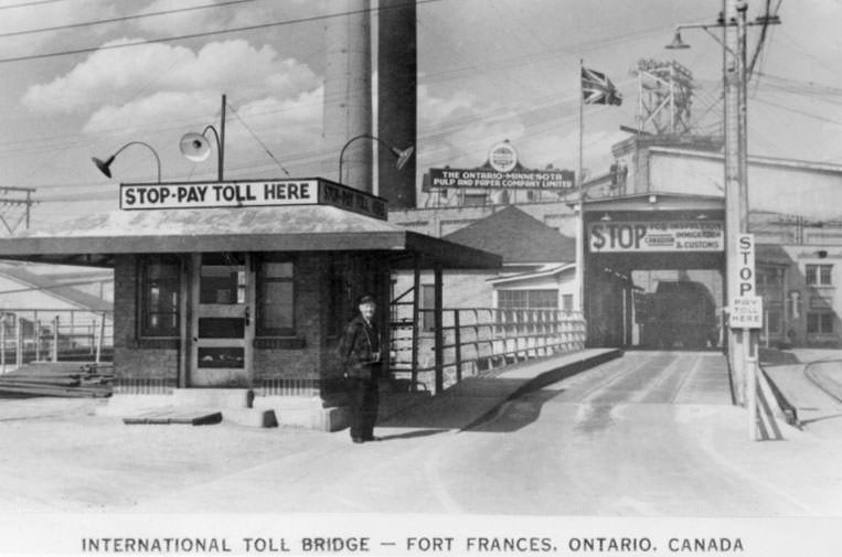
Those are the northernmost US 53 and US 71 signs. Historically US 169 followed what is now US 53 from Virginia to I-Falls, but that route was truncated at Virginia in 1934 when the US 53 designation was extended through Duluth and Virginia. About a block or two ahead, the road angles slightly to the left: that is the bridge over the Rainy River to Fort Frances, Ontario, Canada. It is shown a little more closely in these photos:
Speaking of the Rainy River, I'd like to help clear up a common misconception: looking at a map of Minnesota, it is easy to assume all that water along the state's northern border flows from west to east, into Lake Superior. But that is not the case at all: most of northern Minnesota actually drains into Hudson Bay. The Rainy River flows westward out of Rainy Lake, past I-Falls and Baudette, into Lake of the Woods... which in turn ends up in Lake Winnipeg and eventually Hudson Bay.
|
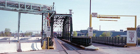
Anyway, below we are looking the opposite direction: south from Fort Frances into I-Falls, at the north beginning of US 53-71, and the historic north beginning of US 169. There is a weight restriction on the southbound (right) span, so sometimes northbound traffic must wait while southbound trucks and other heavy loads use the left bridge:
|
Research and/or photo credits: Monte Castleman; Jeff Morrison; Robert Mortell; Greg Osbaldeston; Dale Sanderson
Page originally created 2003;
last updated Oct. 28, 2019.
last updated Oct. 28, 2019.
