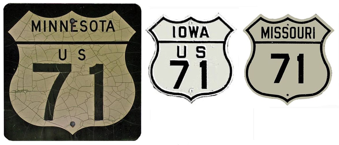
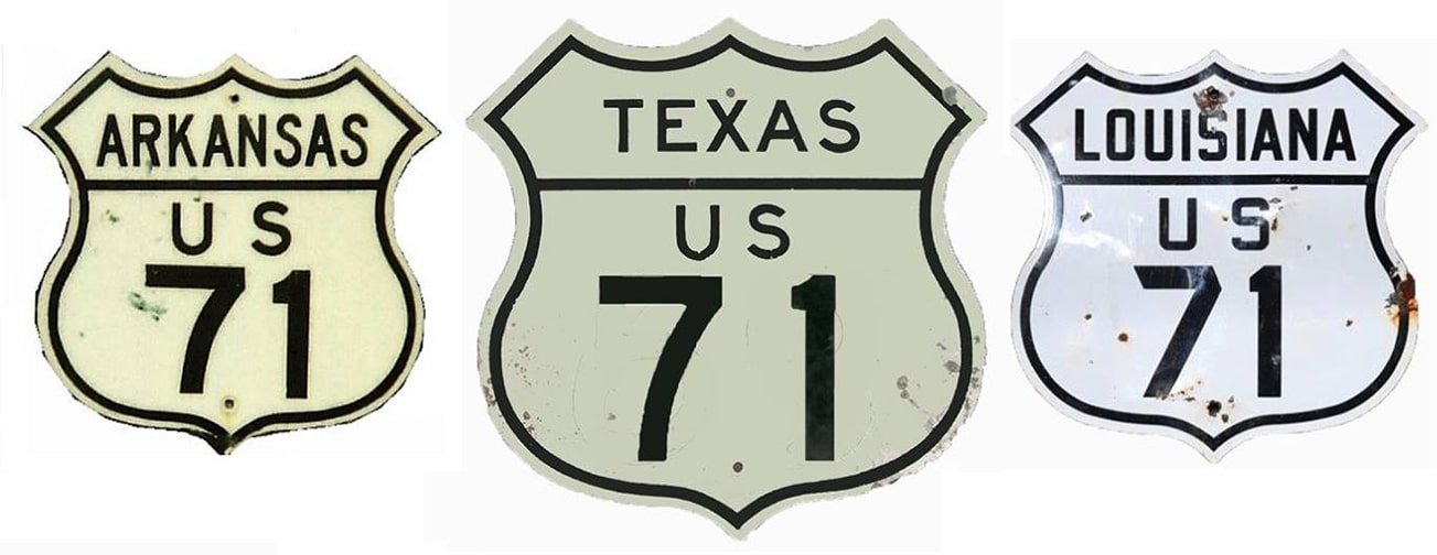
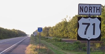
End of US highway 71 |
|
1926-1941
|
1941-1951
|
1951-present
|
|
Mileage: in 1989 AASHTO listed a figure of 1571 miles for US 71... however, that included the mileage of US 71's associated business routes. According to the state subtotals on AASHTO's 1989 spreadsheet, mainline US 71's actual end-to-end total at the time was 1532 miles. That is reasonably close to our own 2020 measurement, which yielded 1515.7 miles (reroutings and realignments likely explain the difference).
|
Historically, when US 71 went to Port Allen, its distance was 1559.1 miles.
|
The north end of US 71 has always been in International Falls. In 1930, US 169 was also routed into I-Falls, but four years later the segment of US 169 from Virginia to I-Falls was renumbered as part of US 53. Ever since then, the north end of US 71 occurs while co-signed with US 53; photos and more info on the International Falls page.
Originally the south end of US 71 was at Port Allen. In 1941, the designation was extended across the Mississippi River to Baton Rouge; here is that agenda item from AASHO's meeting that year:
Originally the south end of US 71 was at Port Allen. In 1941, the designation was extended across the Mississippi River to Baton Rouge; here is that agenda item from AASHO's meeting that year:
|
Photos from both places can be viewed on the Baton Rouge/Port Allen page.
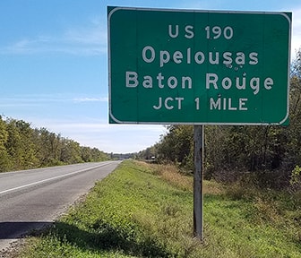
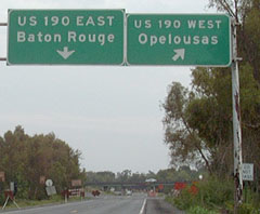
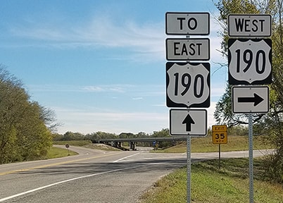
In 1951, the south end of US 71 was truncated to its junction with US 190, about three miles west of Krotz Springs. The exact location of the endpoint changed slightly in 1965, when modern US 190 was opened to traffic (this runs just to the north of the original US 190). These first shots show signage approaching the end of US 71: |
|
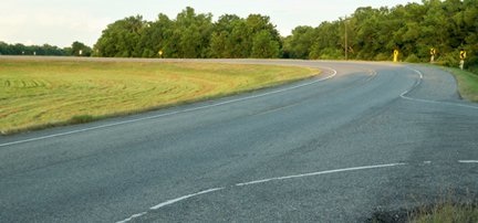
Visible in the background is the trumpet interchange where US 71 ends. Westbound US 190 veers right here; drivers who want eastbound US 190 continue under the bridge, and then the road curves to the left...
|
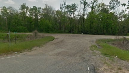
...but about halfway through that curve, there is a road leading off to the right, and this is what is visible looking that direction:
|
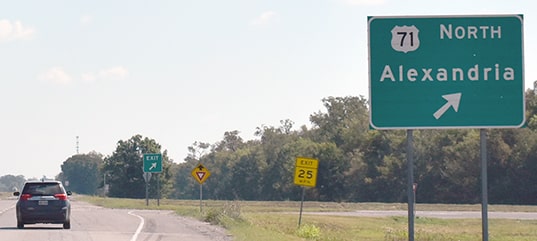
That is the historic south end of US 71, at "Old 190" (as the little green street sign refers to it). Until 1951, US 71 continued to the east (left) with US 190, through Krotz Springs and on to Baton Rouge. Today that direction is closed to traffic, but one can still drive to the right for a little ways. The next shot is looking east on US 190 at the modern south beginning of US 71:
Research and/or photo credits: David Backlin; Brent Ivy; Martin Karner; Alex Nitzman; Dale Sanderson; Michael Summa
Page originally created 2001;
last updated Oct. 26, 2021.
last updated Oct. 26, 2021.
