End of US highway 166 |
 |
|
1926-1944
|
1944-1965
|
1965-present
|
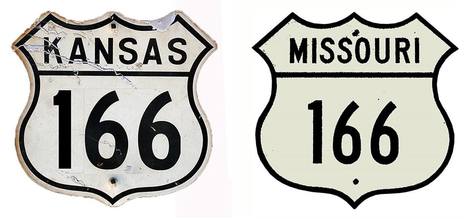
Summa
|
Mileage: in 1989 AASHTO listed a figure of 166 miles for US 166. Our own 2020 measurement yielded 162.0 miles (reroutings and realignments likely explain the difference).
|
|
The west end of US 166 has been in South Haven ever since the US routes were originally commissioned in 1926:
|
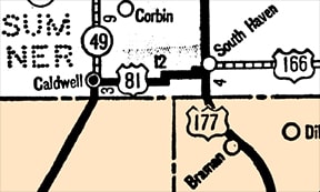
c. 1933, KS DoT
|
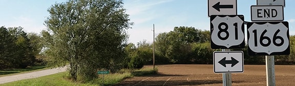
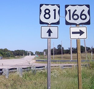
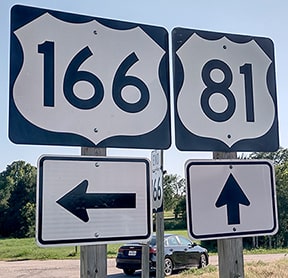
The following photos were taken looking west at the junction with US 81. A half-mile to the left is "downtown" South Haven, and the north terminus of US 177:
|

Prusia, Jan. 2002
|
Nitzman, Oct. 2016
|

Turner, Jul. 2023
|
These photos show the beginning of US 166 as seen from northbound and southbound US 81 (respectively), as well as the first eastbound confirming marker:
Morrison, Sep. 2018 (unchanged as of 2023)
|
Turner, Jul. 2023 (unchanged since at least 2016)
|

Nitzman, Oct. 2016 (unchanged as of 2023)
|
|
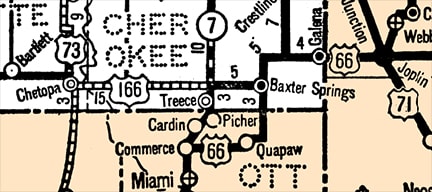
The original east end of US 166 was at its junction with its "parent" route (US 66) in Baxter Springs:
|
c. 1933, KS DoT
|
|
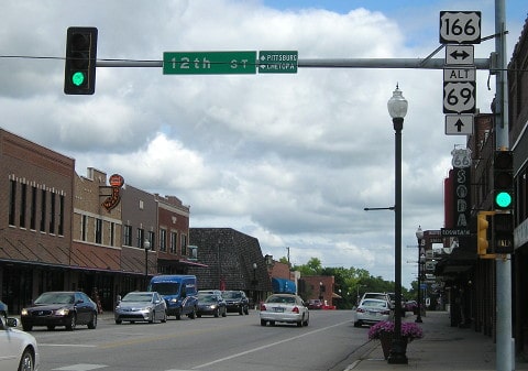
This photo was looking east on 12th Street. The sign at far right indicates that the crossroad (Military Avenue) was formerly US 66 (the Kansas segment of which passed through only the far southeastern corner). This was the east terminus of US 166:
|
Morrison, Jan. 2006
|
(detail)
|
|
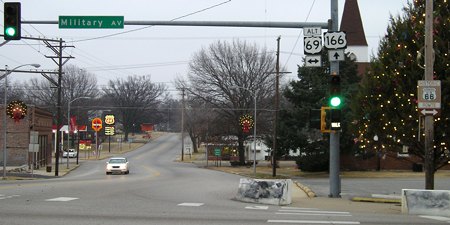
Another reference to historic US 66 is visible in this photo, which was looking north on that route. Historically US 166 began to the left:
|
Morrison, Jul. 2019
|
In 1937 AASHO decreed that intra-state US routes should either be changed to state routes, or else extended into other states. Perhaps that is why in 1944 the US 166 designation was extended further east, into Missouri, along a route that was arguably unnecessary. Traffic was directed right through downtown Joplin, on 7th Street, and then continued into Springfield, even though US 66 already served both of those cities.
|
After I-44 was built, US 166 was routed onto a new road that connected with the interstate a bit southwest of Joplin. The 1966 DOT map indicates that as soon as I-44 was open between Joplin and Springfield, the US 166 designation was cut back to this interchange west of Joplin, and that has been the east end of US 166 ever since. So it is essentially an intra-state route again, although its easternmost 6/10ths of a mile are in Missouri. US 66 was decommissioned in 1985, so now US 166 and its sibling (US 266) are the only surviving routes that recall the memory of US 66.
Research and/or photo credits: Jeff Morrison; Alex Nitzman; Ben Prusia; Dale Sanderson; Michael Summa; Charles Turner
Page originally created 2000;
last updated Dec. 9, 2023.
last updated Dec. 9, 2023.
