End of US highway 441 (north segment)
|
(not to be confused with the separate southern segment of US 441)
|
Mileage: According to the state subtotals on AASHTO's 1989 route log, the Tennessee segment of US 441 measured 69 miles. That very closely matches our own 2020 measurement, which yielded 69.2 miles.
|
In 1952 US 441 was extended north through Great Smoky Mountains National Park to its current terminus in Tennessee. Until 1970, US 441 was a single, continuous route. But in November of that year, the Park decided it did not want the US 441 designation within its boundaries, and AASHO acknowledged that the National Parks Service had sole jurisdiction over the roads within. Since then, US 441 is assumed to follow an implied route through GSMNP, but since US routes no longer exist within the Park, there are now two separate, disconnected segments of US 441. This page covers the north segment.
|
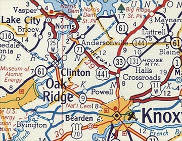
In 1970, the new US 441[n] inherited the same north terminus that the unified US 441 had since 1952. At the time, the town where US 441 ends was called Lake City...
|
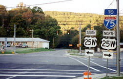
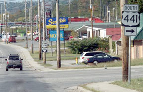
...but in 2014 its toponym was officially changed to Rocky Top. These photos show where US 441 ends, although there was no signage to make that clear:
|
|
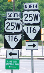
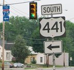
US 25W is routed along Main Street/Main Avenue (when I visited in 2007 it was impossible to tell which was correct, as the street signs in town were about evenly split between the two variations). These shots show the north beginning of US 441 (or "Norris Freeway", which is not really much of a freeway by today's standards), as seen from US 25W (both southbound and northbound, respectively), as well as the first southbound confirming assembly:
|
|
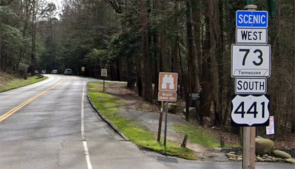
Since 1970, when the removal of the US 441 designation from GSMNP created US 441[n], the south terminus of that route has been in Gatlinburg. Tennessee DOT signposts US 441 literally right up to the Park boundary, even though the designation actually ends just a few feet beyond this sign:
|
Just ahead, the road enters the Park, and there it is referred to only as Newfound Gap Road. But it is implied that US 441 continues ahead, and a little over 30 miles in that direction, the US 441 designation reappears in Cherokee NC; more info and photos from there can be found on the US 441[s] page.
Research and/or photo credits: H.B. Elkins; Dale Sanderson; Michael Summa
Page originally created 2000;
last updated Feb. 27, 2023.
last updated Feb. 27, 2023.

