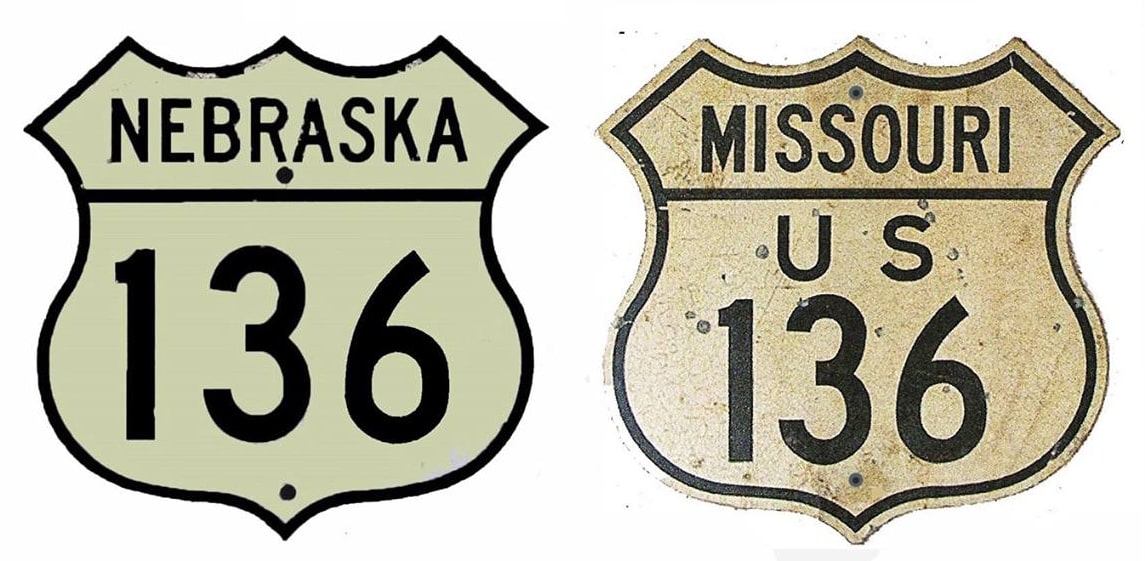
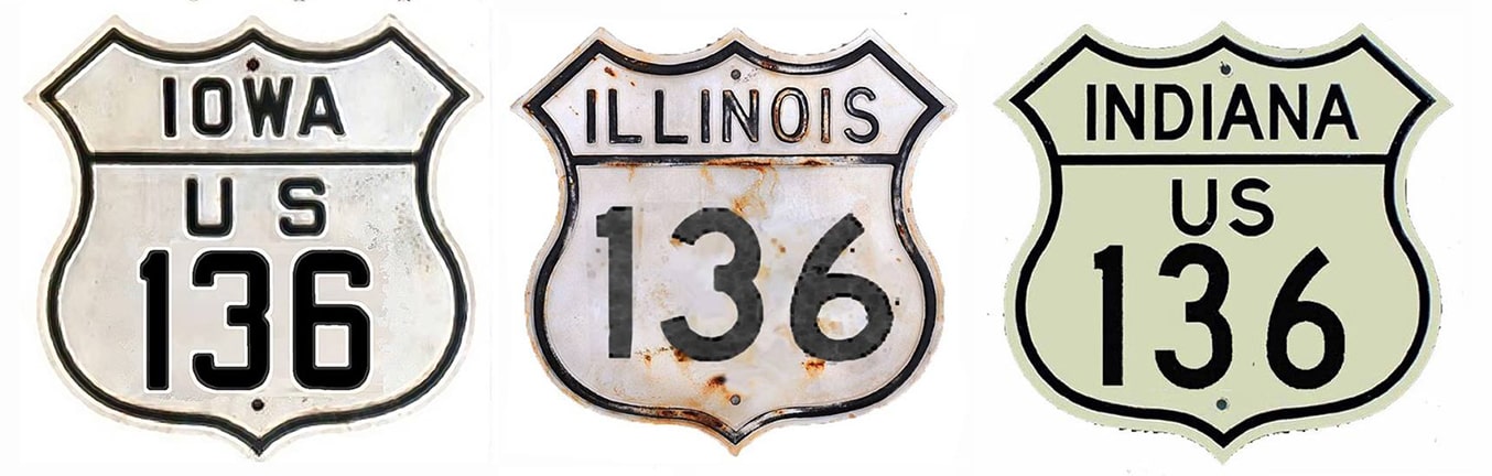
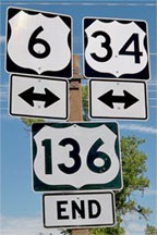
End of US highway 136 |
 |
Summa
|
Summa
|
|
1950-1959
|
1959-1971
|
1970-present
|
Mileage: in 1989 AASHTO listed a figure of 749 miles for US 136... however, that included the mileage of US 136's associated business/spur routes. According to the state subtotals on AASHTO's 1989 spreadsheet, mainline US 136's end-to-end total at the time was 744 miles... however, that assumed an east terminus at Veedersburg, when in fact US 136 has never ended there (see bottom of this page). Our own 2020 measurement for US 136 yielded 799.9 miles.
|
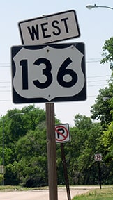
Commissioned in 1950, US 136 was a relative late-comer to the US route system. On its east, US 136 originally terminated at the junction with its parent route (US 36) in Indianapolis:
|
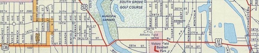
c. 1956, Gousha
|
|
These photos were looking east on 16th Street; the intersection ahead at MLK Drive (formerly Northwestern Avenue) was the east endpoint of US 136, at its junction with US 36-421:

Hargraves, 2003
|
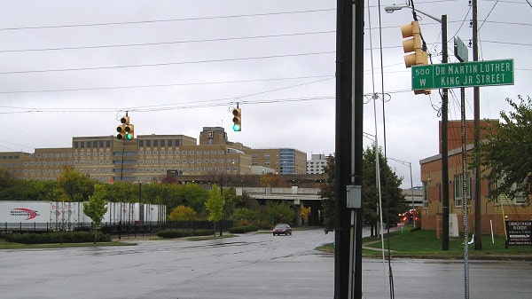
Morrison, Nov. 2019
|
|
At its original west end, US 136 joined with US 169 near Stanberry MO and overlapped with it for 50 miles, into St. Joseph. There traffic was directed south on Belt Highway, and here, too, the US 136 designation ended at its junction with US 36:
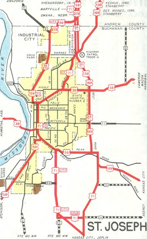
c. 1953, MO DoT
|
This photo was looking north on Belt at Frederick Boulevard:
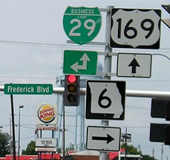
Morrison, Aug. 2006
US 136 began straight ahead; at the time, US 36 ran both ways on Frederick. Here, we are looking east on Frederick:
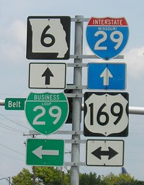
Morrison, Aug. 2006
That was once eastbound US 36, and the south beginning of US 136 was to the left.
|
|
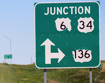
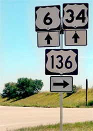
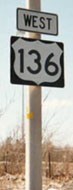
In 1959 the US 136 designation was truncated at Stanberry (eliminating the long overlap with US 169) and instead extended west to its current terminus in Nebraska. US 6 and US 34 are concurrent through much of the southwestern part of the state. They join a ways west of McCook, and together serve the Republican River valley for about 50 miles, essentially due eastward. Near Arapahoe, the Republican begins its gradual curve to the southeast, but US 6-34 begins to leave the valley there -- instead veering to the northeast, to Holdrege and Hastings. But, six miles east of Arapahoe, US 136 connects with 6-34, and begins its life by taking over where they left off: serving towns along the Republican for another 90-or-so miles to the east. As of 2020, approach signage was in need of repair or replacement:
|
Sanderson, Jun. 2020
|
|
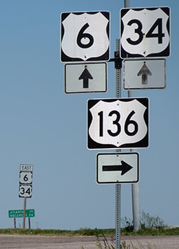
Just ahead, at the actual junction, the sign assembly for the west beginning of US 136 looked like this:
|
Karners, Aug. 2010
|
Sanderson, Jun. 2020
|
|
These photos were looking the opposite direction (west on US 6-34)...
|
Karners, Aug. 2010
|

Turner, Apr. 2023
|
|
...and travelers who take that turn immediately encounter the first eastbound marker:
|

Karners, Aug. 2010
The green sign in the background gives mileage to Edison (two miles ahead), Oxford, and Alma.
|
Sanderson, Jun. 2020
|
|
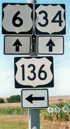
Heading the opposite direction, there were no trailblazers for the final ten miles of US 136; the last westbound marker was in the town of Oxford:
|
Sanderson, Jun. 2020
|
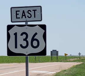
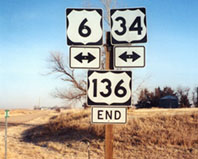
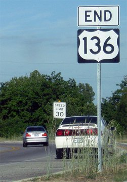
At Edison, US 136 takes a turn to the north. The end of the route at US 6-34 was nicely signed; Arapahoe is six miles to the left:
|
|
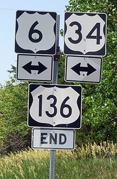
Sanderson, Jun. 2020
|
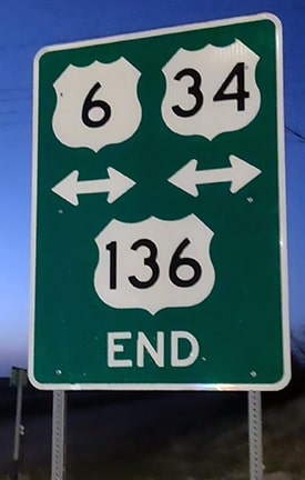
Turner, Apr. 2023
|
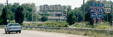
Shown below is one of the agenda items from AASHO's November 1970 meeting:

|
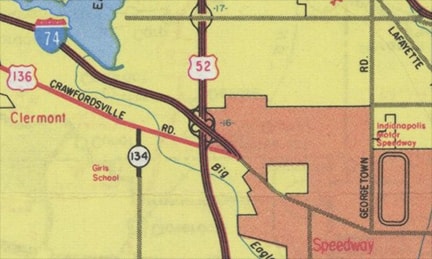
So the east end of US 136 was truncated such that it now ends on the outskirts of Indianapolis rather than downtown (actually in Speedway city limits):
c. 1977, IN DoT
|
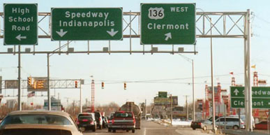
This photo shows the former exit signage from northbound I-465. The east beginning of US 136 was to the right (even though that briefly took drivers even further east):

Ivy/Nitzman, 2009
|
|
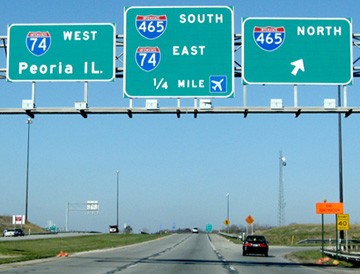
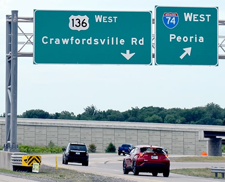
At the end of that offramp, traffic almost immediately reached the sign bridge shown here. Crawfordsville Road was both straight ahead and to the right. US 136 continued to the right on Crawfordsville, which kept curving to the right until it headed the opposite direction of this photo. US 136 then went back under I-465 (at the time it was a grade-separated underpass with no access to the freeway):
|
Greenberger, Jan. 2001
|
|
In the background at far left, the backside of another sign bridge is visible; the front of that is shown in this photo. This was looking westbound on Crawfordsville; drivers had to turn left in order to continue following Crawfordsville westbound, while the road straight ahead provided access to I-465, and then became I-74:
|
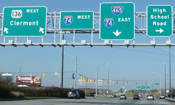
Ivy/Nitzman, 2009
|
|
Interestingly, both directions from that perspective were US 136. To the left was westbound US 136; travelers going that way saw the first confirming marker...
|
Meier
|
...but that was technically not the east beginning of US 136. Even though it was not signed, eastbound US 136 officially continued straight ahead (to the west!) and ended at the I-465 interchange:
|
Ivy/Nitzman, 2009
|
|
In the background of these next photos (heading east on US 136), the backside of that same sign bridge is visible. Whereas it did make sense to sign that as the endpoint, it was technically not the end. Rather, according to INDoT, US 136 actually continued to the left and ended at the I-465 interchange.
|
Hargraves, July 2005
|

Meier
|
|
After those photos were taken, a major reconstruction project in this area was completed. Road alignments were changed, along with all attendant signage, and now an "End" sign is posted on Crawfordsville Road, just east of its interchange with I-465:
|
tdindy88, May 2012
|
|
This photo shows the east beginning of US 136 as seen from southbound I-465:
|
Nitzman, Jun. 2022
|
Research and/or photo credits: David Greenberger, Don Hargraves, Brent Ivy, Karin and Martin Karner; Eric Meier, Jeff Morrison, Alex Nitzman; Dale Sanderson, Michael Summa; Charles Turner; "tdindy88"
Page originally created 2000;
last updated Jan. 5, 2024.
last updated Jan. 5, 2024.
