End of US highway 44 |
 |
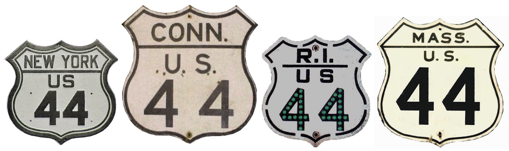
Summa
|
1934-present
|
Mileage: in 1989 AASHTO listed a figure of 238 miles for US 44. That closely matches our own 2020 measurement, which yielded 236.2 miles.
|
The east end of US 44 has been in Plymouth ever since the route was commissioned:
|
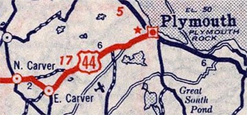
c. 1939, Rand McNally
|
This photos were taken heading northeast on Samoset Street:
|
Long, Oct. 2005
|
Spector, Jul. 2019 (linked to original)
|
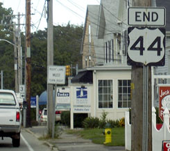
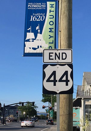
Part of Plymouth Bay is visible in the distance, and the Plymouth Rock area is straight ahead on Park Avenue. Traffic coming from that direction (southwest on Park) sees the east beginning of US 44 signed like this:
|


|
Oddly, less direction is posted for traffic heading northwest on Court (MA 3A):
|
Karners, Aug. 2010
|
If a driver correctly assumes that US 44 is to the left, then they will be heading west on Samoset, and they will see the first confirming assembly shortly:
|
Karners, Aug. 2010
|
From there, the National Monument to the Forefathers is about two blocks to the right.
|
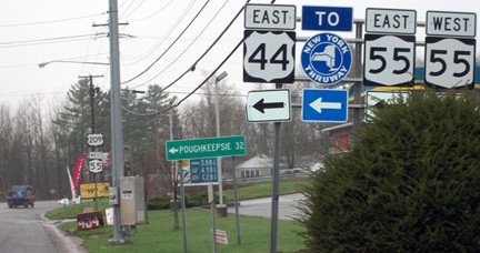
Likewise, the west end of US 44 has also been in the same place since its inception: in Kerhonkson, at its junction with US 209...
|
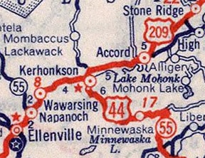
c. 1939, Rand McNally
|
|
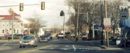
...however US 44 originally followed Minnewaska Trail, ending right in town. This image was taken from northbound US 209; from the 1930s through the '50s US 44 began to the right:
|
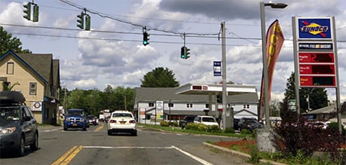
Golub, Jun. 2019 (linked to source)
|
|
The current US 44 bridge over Rondout Creek was built in 1957, so that may be when US 44 traffic was redirected along the current route, which bypasses town to the south. US 209 is mis-signed as NY 209 in several places:
|
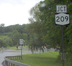
Roberson, June 2006
|
|
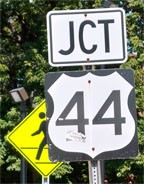
The "End" sign visible in the distance is shown close-up here, and next we have the signage ahead at the actual junction:
|
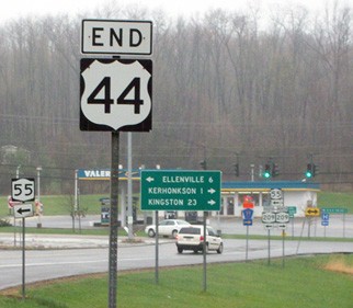
Blake, May 2011
|
Karner, Jun. 2013
|
|
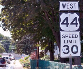
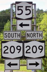
Below we are heading north on US 209:
|
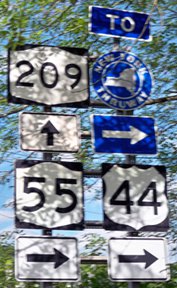
Karner, Jun. 2013
|
The west beginning of US 44 is to the right (the blue sign is for the New York Thruway, or I-87). This next shot was taken from the opposite direction (west on southbound US 209):
|
Blake, May 2011
|
Research and/or photo credits: Dave Blake; Nathan Edgars; David Golub; Karin and Martin Karner; Doug Kerr; Mark Long; Dan Moraseski; Mike Roberson; Dale Sanderson; Jesse Spector; Michael Summa
Page originally created 2000;
last updated Aug. 17, 2022.
last updated Aug. 17, 2022.
