End of US highway 20 (east segment)
|
(not to be confused with the separate western segment of US 20)
|
 |
|
1926-present
|
|
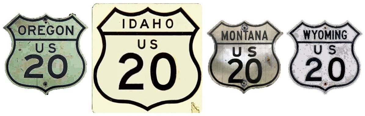
Summa
|
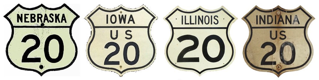
Summa
|
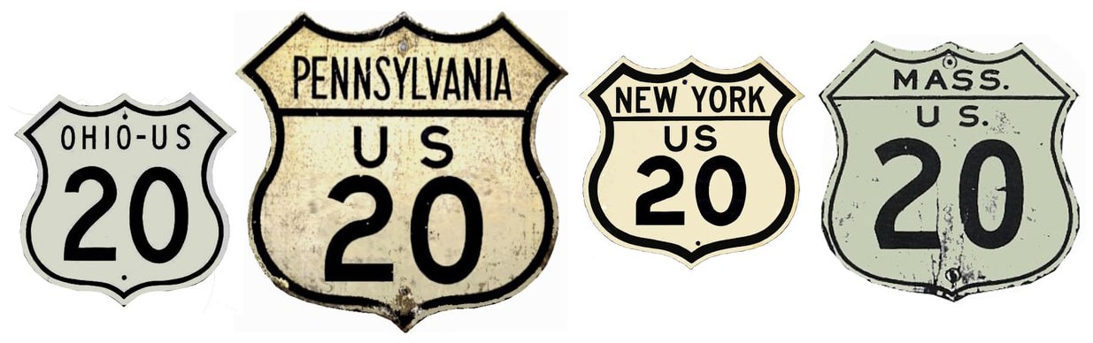
Summa
|
Mileage: in 1989 AASHTO listed a figure of 2376 miles for US 20[e]... however, that included the mileage of US 20's associated business and alternate routes. According to the state subtotals on AASHTO's 1989 spreadsheet, the actual end-to-end total of mainline US 20[e] at the time was 2352 miles. That closely matches our own 2020 measurement, which yielded 2346.5 miles.
|
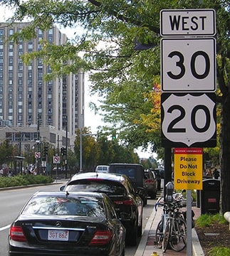
US 20 does not exist within Yellowstone National Park, and although the route is implied to run through Yellowstone, the Park divides US 20 into two separate segments.
The west end of US 20[e] has always been at the east entrance to Yellowstone National Park. This map showing the original extent of US 20 was included in a 1927 US Dept. of Agriculture Office of Information press release, issued shortly after the US routes were commissioned:
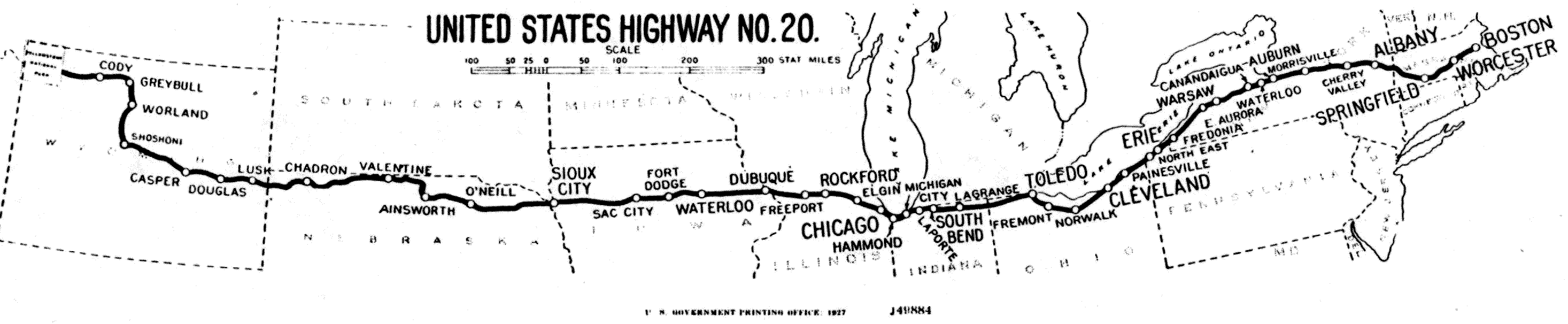
c. 1927, US Government Printing Office
|
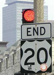
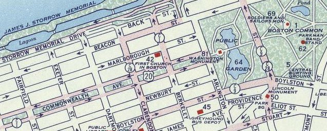
The east terminus of US 20[e] has always been in Boston, although its exact endpoint has changed over the years. US 20 comes into town on Brighton Avenue, which then becomes Commonwealth Avenue. Formerly this was the last eastbound marker...
|
Elbert, July 2006
|
|
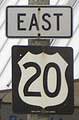
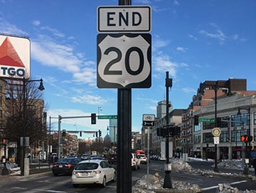
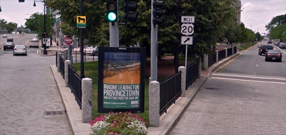
...but in 2012 or 2013 it appears MassDoT re-signposted the routes in this part of town, and now the easternmost segment of US 20 has shields that are more MUTCD-compliant. As of 2014, the last eastbound marker was just past the BU Bridge:
|
Google Maps Street View, 2011 (gone by 2017)
|
|
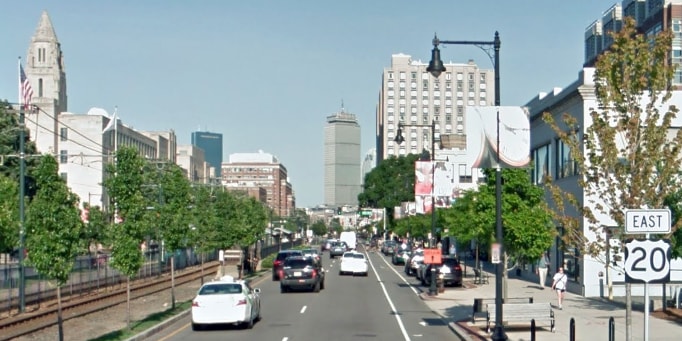
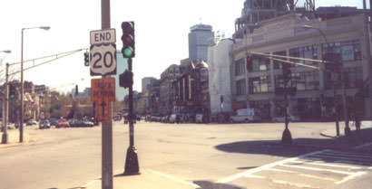
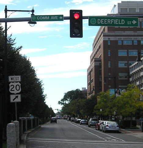
Signage approaching Kenmore Square indicates the route at which US 20 terminates:
|
Google Maps Street View, 2014
|
Morrison, Oct. 2017
|
|
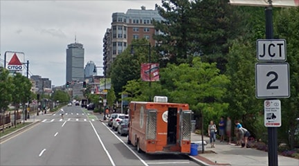
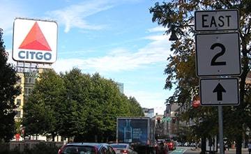
MA hwy. 2 approaches Commonwealth from the right, via Beacon Street. Here, where those two roads intersect, MA 2 switches over to Commonwealth, and the US 20 designation ends. For years there was a sign assembly attesting to that fact, but when that traffic island was altered in about 2008, the "End" sign was removed and not replaced until 2017:
|
Moraseski
|
Elbert, July 2006
|
Bourey, Mar. 2017
|
Morrison, Oct. 2017
|
|
The US 20 designation originally extended further ahead via Beacon and ended at the State House. This shot was looking east on Beacon at Park Street. The State House is off the left side of the photo, so this was US 20's original terminus:
|
TopHatGuy, Apr. 2019
|
|
Sometime in the 1930s, part of Beacon became one-way westbound, so US 20 was moved to the end of Commonwealth Avenue at the Public Garden:
|
c. 1956, Gousha
|
|
This photo was taken looking eastbound on Commonwealth. The cross road is Arlington Street; beyond that is the Public Garden, and in the background some of the skyscrapers in the city center are visible. So this is the perspective of a driver at US 20's second terminus in Boston:
|
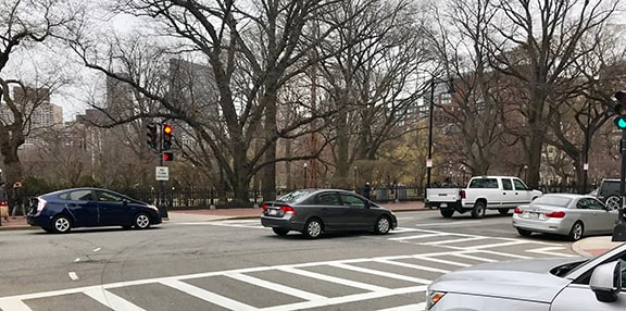
TopHatGuy, Apr. 2019
|
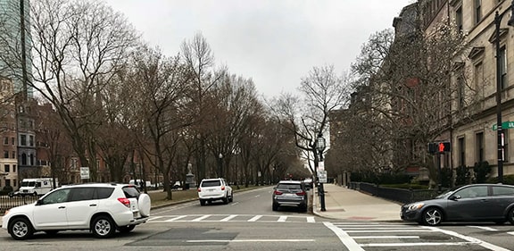
TopHatGuy, Apr. 2019
|
That photo was looking the opposite direction (west on Commonwealth from the Public Garden). Today that is designated MA state route 2, but historically that was the east beginning of US 20. USGS maps indicate that sometime during the 1960s, US 1 traffic was redirected through Back Bay (instead of through MIT) along a routing that included Commonwealth. That may have been what prompted the truncation of US 20 to its current terminus. About a mile ahead, as one approaches the intersection with Beacon, signs note that the junction with US 20 is upcoming...
|
|
Google Maps Street View, 2014
|
...and in December 2016 a new sign was installed on westbound Commonwealth, just before the beginning of US 20...
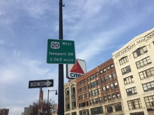
MassDoT, Dec. 2016 (linked to source)
|
|
...but unfortunately the mileage on that sign is significantly overstated. MassDoT copied the information from a similar sign that was posted at the route's western terminus in Oregon (more details below, in the Newport section).
On westbound Beacon, there is also a reference to US 20 just prior to its eastern beginning: |
Google Maps Street View, Sep. 2019
|
|
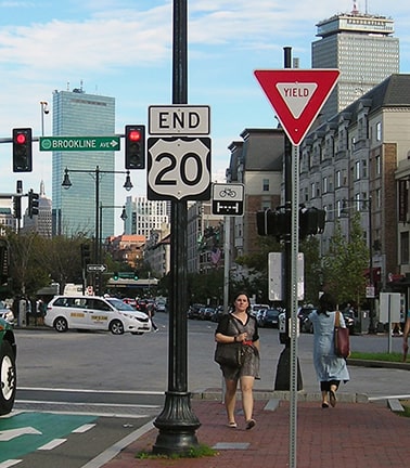
Just ahead, where Commonwealth and Beacon traffic diverge, US 20 begins at Kenmore Square:
Google Maps Street View, 2014
|
Morrison, Oct. 2017
|
|
These photos show the first westbound markers, as they appeared in the past and more recently:
|
Mortell, 1999
|
Bourey, Mar. 2017
|
Morrison, Oct. 2017
|
Research and/or photo credits: George Bourey; Wayne Brunelle; Nancy Cooper; Chris Elbert; Dan Moraseski; Jeff Morrison; Robert Mortell; Dale Sanderson; Michael Summa; TopHatGuy; Joe Zelinski
Page originally created 2000;
last updated Feb. 28, 2023.
last updated Feb. 28, 2023.
