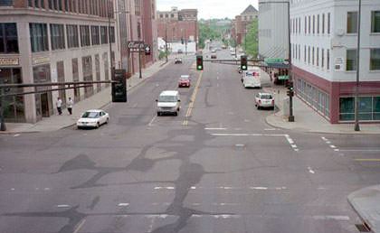
Historic US highway endpoints in St. Paul, MN
1927-1935
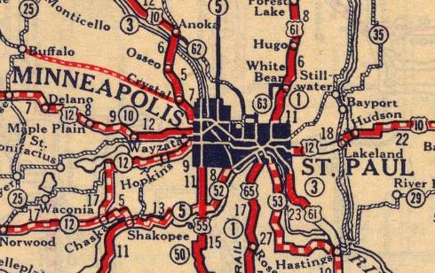
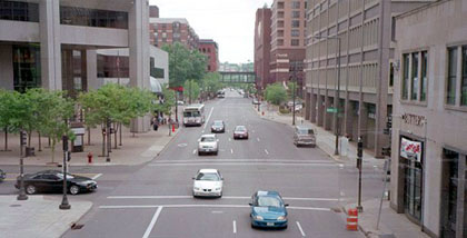
Obviously the view there has changed a lot since last century, but that intersection was once the north end of US 65. To the left was eastbound US 10-12, and westbound was straight ahead.
|
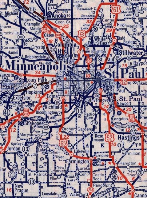
In 1934, US 65 was rerouted such that it ended in Minneapolis. At that time the US 218 designation was extended north along the former route of US 65, ending at the same point shown above (and it was right about then that US 52 was also routed along Robert). However, this intersection remained a US terminus for only about one more year, until the north end of US 218 was cut back to Owatonna. By the time of this 1940 map, US 65 was shown ending in Minneapolis, and historic US 218 had been changed to state highway 218:
|
|
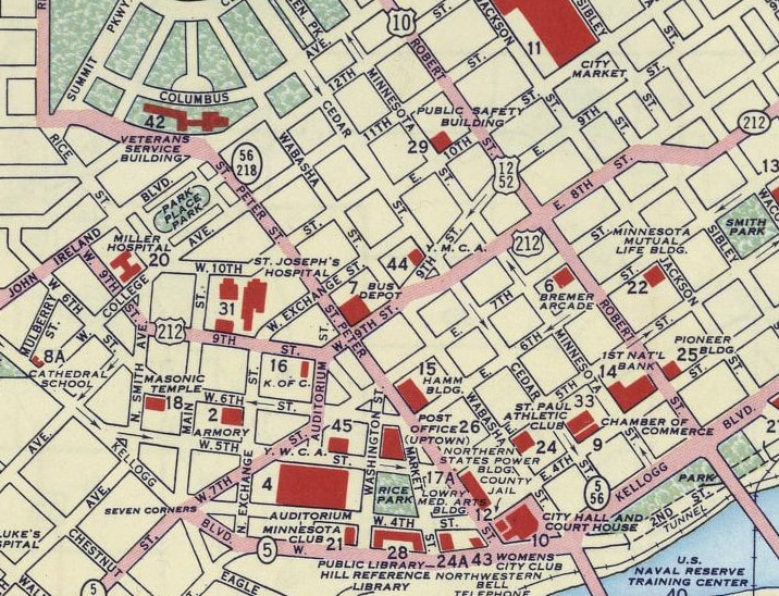
What was shown as "8th Street" on that map is now known as 7th Street. Much of US 212's historic route through St. Paul is not driveable today, largely because of the freeways were built through the city, starting shortly after that map was made (historic route of US 212 superimposed on a modern basemap). This photo was looking east on 7th at Robert:
|
That intersection marked the east end of US 212 from 1935 to about 1961 (Robert carried US 10-12-52 traffic, and straight ahead was designated MN 212). Then some of these downtown streets were converted to one-way pairs. At that point, the cars coming towards the camera would have been approaching the westbound beginning of US 212, but the eastbound end was one block to the right, at 7th Place (then known as 7th Street). That lasted until about 1978, when the US 212 designation east of Snelling Avenue was cut back (instead US 212 turned north on Snelling and ended at University Avenue, or US 12). But that lasted only about one year, after which time US 212 was truncated to Eden Prairie.
Research and/or photo credits: Monte Castleman; Dale Sanderson
Page originally created 2004;
last updated June 5, 2020.
last updated June 5, 2020.
