End of US highway 81 |
 |
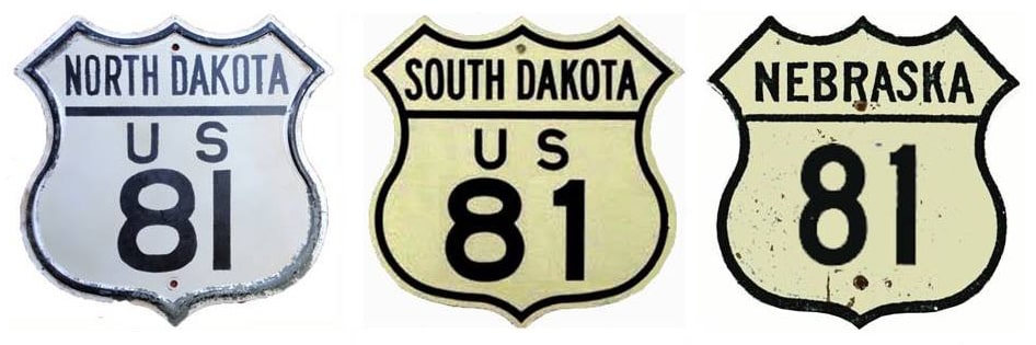
Summa
|
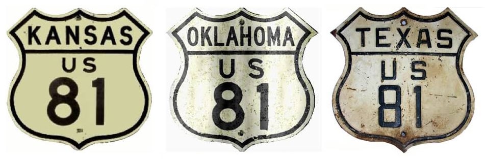
Summa
|
|
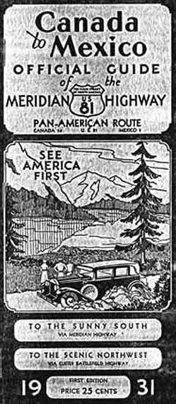
1926-1991
|
1991-present
|
|
Mileage: as of 2020, US 81 measures 1222.6 miles in total distance. Historically, when it went all the way to Laredo, it was 1653.6 miles long.
|
|
|
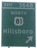
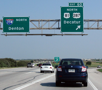
That was a brand-new sign at the time, and all the signs for that exit on southbound I-35 consistently showed the US shield at the time (however, northbound signs use the Texas highway marker, which is the correct designation for that road). Sometimes the entity replacing the highway signs (whether that is the DOT or a contractor) will first do an existing-sign inventory, and then just replace them verbatim -- without giving any thought to whether or not the old signs were correct. At any rate, all mistake US 81 signage in Texas had been fixed by 2006.
|
|
...and here is a photo from southbound I-35W:
|
Nelson, May 2006
|
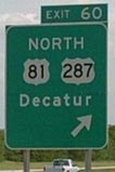
After taking that exit, the first northbound US 81 marker looks like this:
|

Ivy/Nitzman, Sep. 2009
|
|
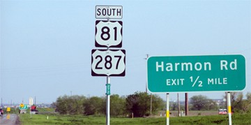
Heading the opposite direction, the last southbound marker is posted after the onramp from FM 156:
|
Sanderson, Mar. 2012
|
|
There is no further mention of US 81, nor any indication that it ends about a mile ahead, but these next photos show where the designation ends as it merges with southbound I-35W:

Sanderson, Mar. 2012
|

Morrison, Sep. 2018
|
Incidentally, the US 287 designation does not end there, but rather continues ahead with I-35W for a few miles before exiting again.
The north end of US 81 has always extended to the Canada line. This photo was looking west on ND hwy. 5 at I-29's interchange 203, near Joliette:
|
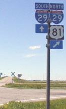
Wilson
|
|
Northbound US 81 comes towards the camera, but instead of ending at this interchange, it is co-signed north with I-29 to the border at Pembina. This photo illustrates what that port of entry looks like:
|
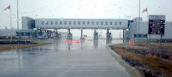
Nelson, Apr. 2005
|
|
The brown sign at far right marks the international boundary. Heading the opposite direction, as soon as one crosses the border...
|
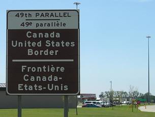
Morrison, May 2007
|
...they are on the north beginning of US 81 (as well as I-29). Just ahead, the first southbound US 81 marker looks like this:
|

Morrison, May 2007
|
Research and/or photo credits: Robert Brooks; Brent Ivy; Jeff Morrison; Steven Nelson; Alex Nitzman; Dale Sanderson; Michael Summa; Ed Wilson
Page originally created 2002;
last updated Oct. 26, 2021.
last updated Oct. 26, 2021.
