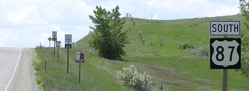
End of US highway 87 |
|
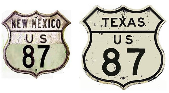
1926-1934
|
1934-1935
|
1935-1947
|
1947-present
|
|
Mileage: in 1989 AASHTO listed a figure of 1998 miles for US 87. That is reasonably close to our own 2020 measurement, which yielded 2006.1 miles (reroutings and realignments likely explain the difference). US 87's midway point is on I-25 in Pueblo, Colorado, adjacent to Mineral Palace Park... although there is no longer a single US 87 marker within 100 miles of Pueblo!
|
|
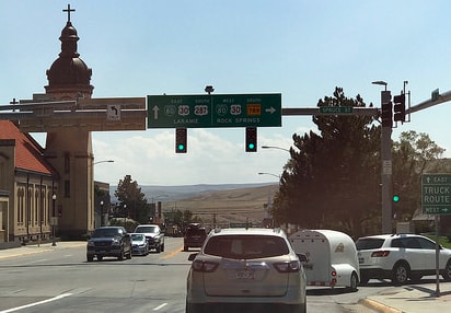
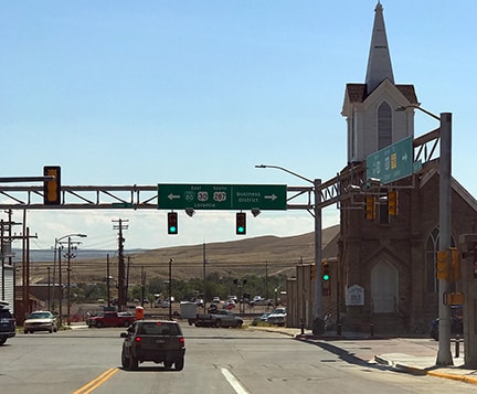
Today US 30 and Business 287 are overlapped straight ahead for a few blocks, and then left on Cedar Street. But back when US 87 served Rawlins, the configuration was a little different: US 30 used 5th Street (not 3rd) to make the jog between Spruce and Cedar. That is only two blocks to the right, so presumably US 87 traffic wanting westbound US 30 would have been directed to turn right at that intersection. But officially US 87 continued ahead three blocks from the scene shown above, ending at Cedar:
|
|
Originally the north end of US 87 was at Piegan, on the Canada border (where US 89 ends now). In 1935, US 89 was extended north and joined US 87 at Armington MT (southeast of Great Falls). The two routes were co-signed into that city, where US 87 then ended, with US 89 taking over its former route up to Piegan (photos and more info on the Great Falls page.
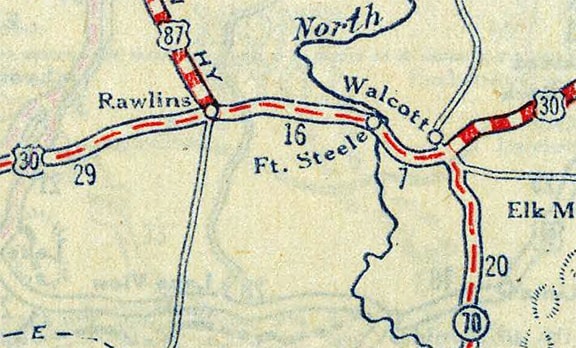
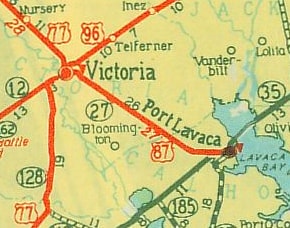
In 1934, that segment of US 87 became US 287, and the US 87 designation was changed to its present corridor through Cheyenne, extending all the way down to its present terminus in Port Lavaca: |
|
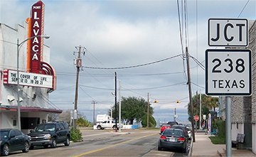
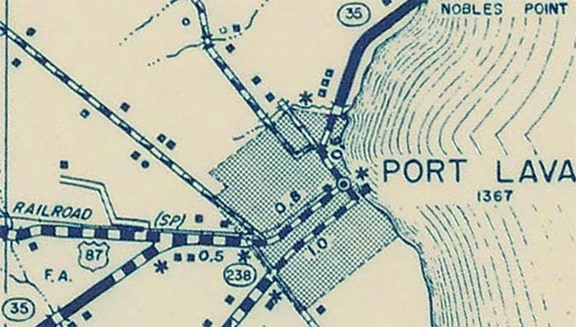
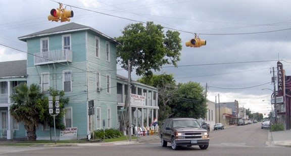
Formerly there was a sign pointing left that said "To TX 35". Originally TX 35 went through town (rather than along the current bypass). Historically US 87 joined with TX 35 on the west side of town, and its endpoint at this intersection was not only at a junction with TX 238 (which went only south, or to the right) but also at a turn in TX 35 (which continued to the left):
|
|
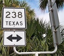
Since then signage has been changed to indicate that TX 238 runs both ways along Commerce. The right-hand side of that "goalpost" is used to sign the south beginning of US 87 for northbound TX 238 traffic; that perspective is shown here:
|
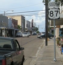
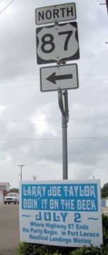
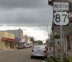
The sign below read "Where Highway 87 Ends the Party Begin" [sic], proving that sometimes even non-road-geeks notice things like highway endpoints. The beginning as seen from the opposite direction is signed thus:
|
|
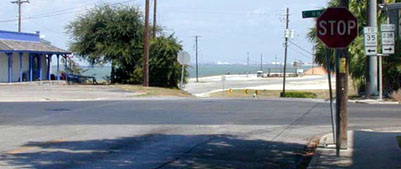
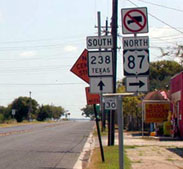
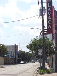
That assembly has since been replaced, but it is essentially the same. That is posted just after the intersection with Main, heading southeast on Commerce. Straight ahead is also part of Lavaca Bay; the Gulf of Mexico itself is 20 or 30 miles in that direction. That sign is also shown at far left in this photo:
|
|
From there, US 87 takes travelers further southwest for about a half-mile; then west for about four more; and then finally northwest towards Victoria... and ultimately to Montana.
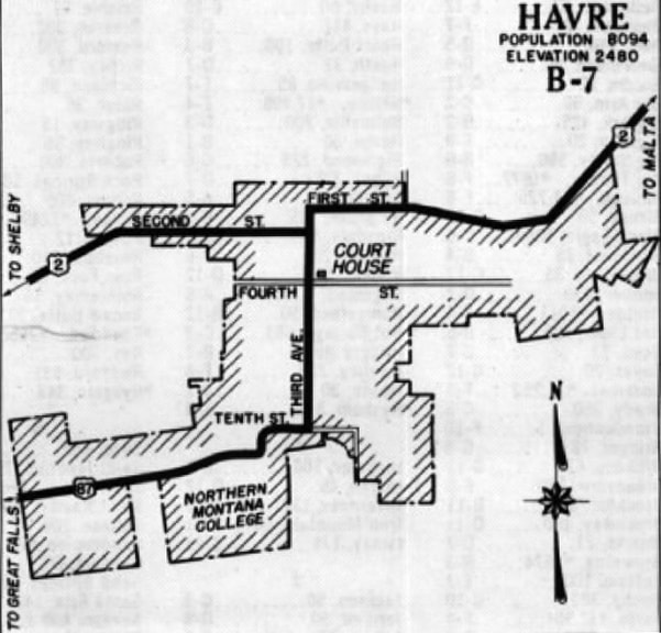
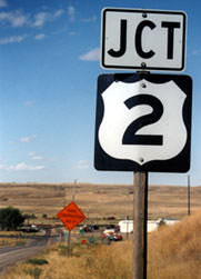
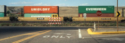
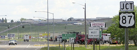
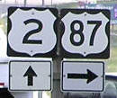
It was 1947 when the US 87 designation was extended northeastward to Havre. Southwest of town, US 87 initially followed Old Post Road / 11th Street to 1st Avenue; north one block; east on 10th Street to 3rd Avenue; then north to end at US 2, which ran along 2nd Street on the west side of town, not 1st Street (as it does today): |
Research and/or photo credits: Robert Brooks; Nathan Edgars; Chris Elbert; Karin and Martin Karner; Jerry Millsap; Dale Sanderson; Michael Summa; Mike Wiley
Page originally created 2000;
last updated Dec. 18, 2023.
last updated Dec. 18, 2023.

