End of US highway 16 |
|
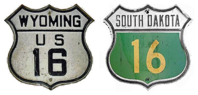
1926-1961
|
1961-1963
|
1963-1964
|
|
1964-1978
|
1978-present
|
Mileage: Historically, when US 16 went to Detroit, it was 1524.8 miles long (not including the ferry segment across Lake Michigan).
|
|
In 1989 AASHTO listed a figure of 526 miles for US 16... however, that included the mileage of Alternate US 16. According to the state subtotals on AASHTO's 1989 spreadsheet, mainline US 16's actual end-to-end total at the time was 489 miles. That closely matches our own 2020 measurement, which yielded 487.8 miles.
|
|
|
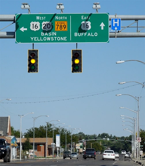
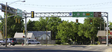
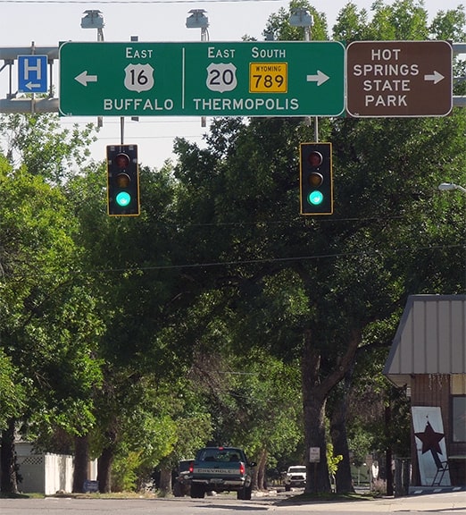
...but oddly enough, the view there is actually looking east on Big Horn Avenue. US 20 continues by turning north (left) on 10th Street. Today westbound US 16 traffic is directed that way too, but until 1965, straight ahead was the west beginning of US 16. This photo shows a more recent version of that sign:
|
|
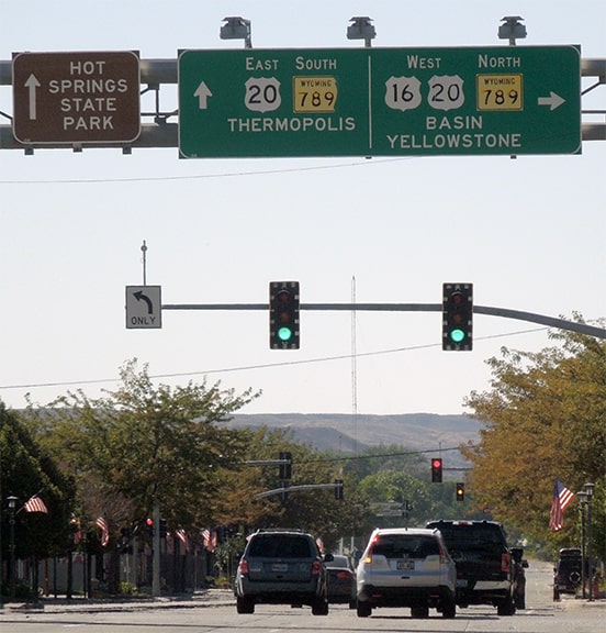
These next views were looking west on US 16:
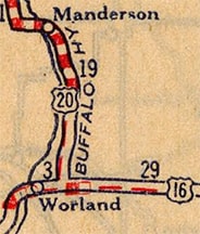
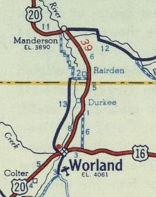
Historically that was the west end of US 16. But in 1964 the designation was extended to the right with US 20, and US 16 is now overlapped with it for approx. 150 miles: all the way to the east entrance of Yellowstone National Park.
|
|
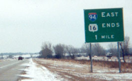
US 16 formerly continued much further east of Rapid City: mostly along what is now I-90 to Milwaukee. From there, the route continued across Lake Michigan via car ferry, to Muskegon MI (the original ferry, restored by the Muskegon Maritime Museum to its original status as a World War II Landing Ship Tank, was actually named "Highway 16" when it served as a car ferry from 1946-1973). Then east across Michigan, roughly along modern I-96, to its original east end in Detroit. Michigan decommissioned US 16 in 1961. After that, the route's west end was briefly in Milwaukee, before US 16 was truncated to the interchange to which the sign in this photo refers:
|
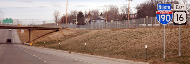
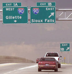
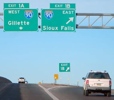
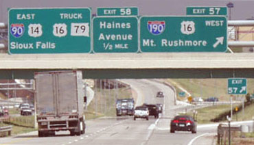
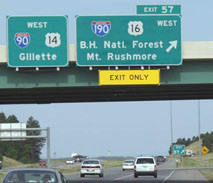
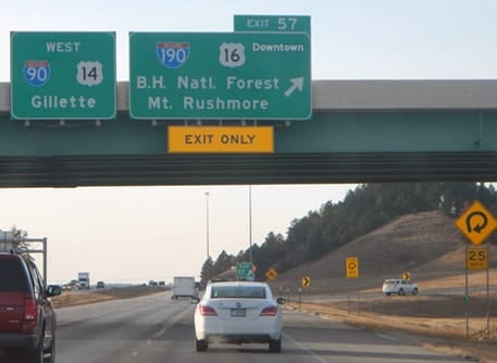
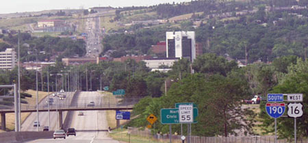
A mile ahead is I-94's interchange 293 in Pewaukee. In its later life, US 16 was routed along today's WI hwy. 16 until it was completely decommissioned in Wisconsin in 1978. That action was approved by AASHTO in June of that year, truncating US 16 to its current east terminus in Rapid City:
Visible in the distance is a road aligned with this one, receding to the horizon. That is Mount Rushmore Road, which also carries US 16 traffic.
Research and/or photo credits: Joseph Barnes; Monte Castleman; Chris Elbert; Jon Enslin; Quentin Hibben; Jay Maynard; Dale Sanderson; Michael Summa; Jim Teresco
Page originally created 2000;
last updated Dec. 15, 2023.
last updated Dec. 15, 2023.
