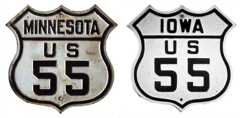
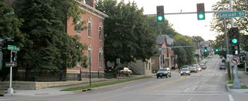
End of historic US highway 55 |
At its maximum extent, US 55 measured about 363 miles in total length.
|
|
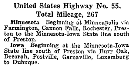
The north end of US 55 was in Minneapolis. When US 55 was originally commissioned in 1926, its south end was in Dubuque; this excerpt is from AASHO's Apr. 1927 route log:
|
|
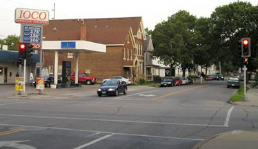
This photo was taken looking south on Jackson Street at 20th Street; it shows the perspective of a driver on southbound US 55. The car in the foreground is on what was once northbound US 61, which continued to the left (20th becomes Rhomberg Avenue, which aligned with the now-dismantled Eagle Point Bridge):
|
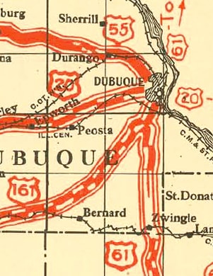
That was southbound US 61, which continued to the left with eastbound US 20. Westbound US 20 was ahead on Loras, so this would have been a logical place for US 55 to end.
In 1931 the designation was extended further south, to Davenport (photos and more info on the Quad Cities page). Two years later US 55 was retired; signage along its route was replaced by extensions of US 67 and US 52.
In 1931 the designation was extended further south, to Davenport (photos and more info on the Quad Cities page). Two years later US 55 was retired; signage along its route was replaced by extensions of US 67 and US 52.
Research and/or photo credits: Jason Hancock; Jeff Morrison; Dale Sanderson; Michael Summa
Page originally created 2004;
last updated Dec. 21, 2021.
last updated Dec. 21, 2021.
