US highway endpoints in San Antonio, NM
|
1927-present
|
 |
Ever since US 380 was commissioned in 1932, its west end has been in San Antonio. For a few years prior to that, it was US 566 that had its west terminus there:
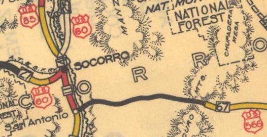
c. 1931, NM DoT
|
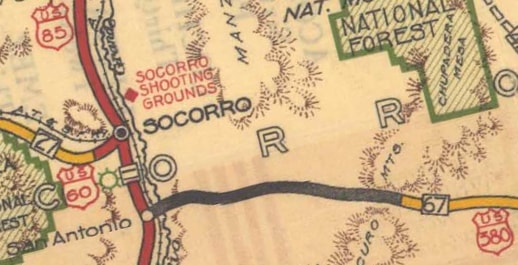
c. 1934, NM DoT
|
|
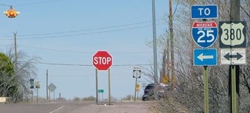
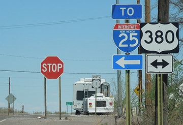
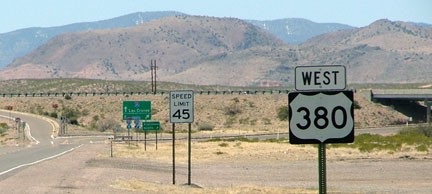
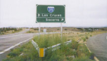
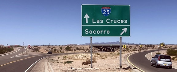
After I-25 was built through this part of New Mexico, the US 380 designation was extended about a mile to the west of San Antonio, to its current terminus at interchange 139. This photo was from southbound I-25:
|
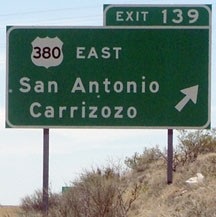
Sanderson, Mar. 2010
|
After exiting there, this photo shows what was formerly the first US 380 sign heading eastbound, posted immediately after exiting the freeway. It was lying on the ground and needed a little help to stand up:
|
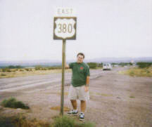
Allen, 2000
|
|
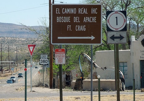
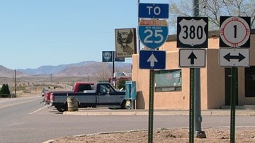
From what I have observed, that is not unusual in New Mexico: not much attention given to road signs. That sign was never replaced; by 2004 the first confirming marker was about a half-mile ahead, at the junction with NM 1 in San Antonio...
|
Roberts, May 2004
|
|
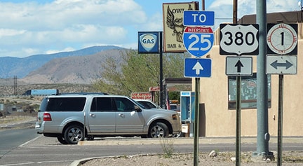
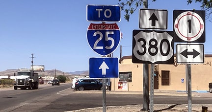
...and by 2010 (and at least as late as 2016), there was no confirming marker until after the junction with NM 1:
Sanderson, Mar. 2016
|
Sanderson, Mar. 2010
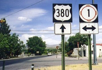
The green sign in the distance gives mileage to Carrizozo (64) and Roswell (153). Before I-25 was built, today's NM 1 was US 85. When the US routes were initially commissioned in 1926, it was actually US 566 that began straight ahead. That was the case until about 1932, when US 566 became part of the new, longer US 380. So from then until the opening of I-25, the west beginning of US 380 was straight ahead.
|
|
That same intersection is shown here, approaching from the south. These shots were looking north on NM 1, or old US 85. To the right was historically the beginning of US 566, and later US 380:
|
Sanderson, Mar. 2010
|
Sanderson, Mar. 2016
|
|
These next shots were looking west. This is the original west end of US 380, and before that, the end of US 566:
|
Sanderson, Mar. 2010
|
Sanderson, Mar. 2016
|
Stober, May 2021
|
|
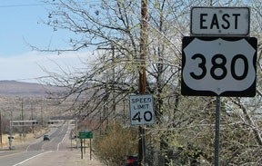
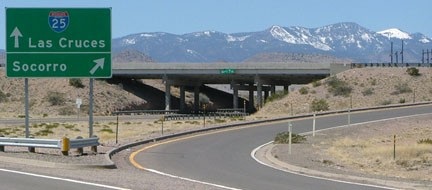
Now US 380 has been extended ahead to I-25; the last westbound marker is not far ahead. In these photos, the lower, yellowish hills in the distance are the Chupadera Mountains; while the higher, bluish ones beyond that are the Magdalena Mountains:
|
Sanderson, Mar. 2010
|
Stober, May 2021
|
|
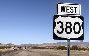
In the middleground above, the interchange that marks the west end of US 380 in visible. In the gore separating northbound traffic from southbound, this large sign has been posted:
|
Allen, 2000
|
Sanderson, Mar. 2010
|
Stober, May 2021
|
Research and/or photo credits: James Allen; Mark Roberts; Dale Sanderson; Dan Stober
Page originally created 2000;
last updated May 14, 2021.
last updated May 14, 2021.
