Northeast corner of Colorado
|
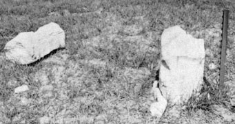
According to the Congressional definition of the boundary of Colorado, this point is theoretically where the 41st parallel north latitude intersects 25 degrees west longitude as measured from the Washington Meridian*. However, this monument was first set by Oliver Chaffee during his 1869 survey -- and due to the technological limitations of his day, it is not exactly right (although his survey does define the official boundary, regardless of its accuracy).
|
|
* Many American surveys between 1850-1884 were based on the Washington Meridian, which was officially abolished by Congress in favor of the Greenwich Prime Meridian in 1912. "25 degrees west of Washington" is a few miles away from the 102nd degree of longitude west of Greenwich.
|
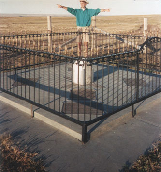
That was looking eastward. Mr. Ellis was instrumental in prompting improvements to this site -- plans for which began in 1972, and were finally realized in 1979. What was left of the base is now preserved in the middle of a concrete apron and a fenced enclosure, shown in this photo:
|
|
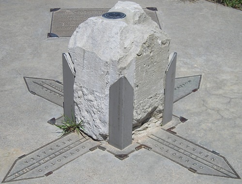
In that shot, the camera was in Colorado. The view is northeast into Nebraska; the South Platte River valley is visible in the background. I was standing a few feet into Nebraska, pointing down the north and east statelines of Colorado. Here is a close-up, shot from the same angle:
|
Research and/or photo credits: Jeff Morrison; Dale Sanderson
Page originally created 1998;
last updated Nov. 17, 2016.
last updated Nov. 17, 2016.


