US highway endpoints in Mackinaw City, MI
|
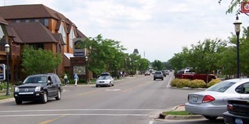
Historic accounts describe how -- before the Mackinac Bridge was built -- traffic would be backed up all the way down that street (and for literally miles beyond) as drivers waited to board the car ferries that would transport them over to the Upper Peninsula. Clearly the bridge was needed, but when it opened, the ferries ceased operating, and highway traffic was routed away from Huron. The car at far left is at the historic north end of US 23-27-31. If it were to turn to the viewer's left, the driver would be looking down the road shown here:
|
|
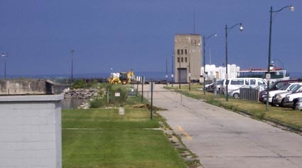
That is the old State Dock, where people would drive their cars onto the ferries that went to St. Ignace, where they could connect with US 2 and other U.P. destinations. (This is now known as the Mackinaw City Pier, and today people park here in order to catch the passenger ferry to Mackinac Island.) Here is another view of the old State Dock, as seen from the nearby railroad docks:
|
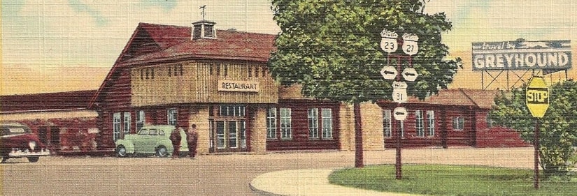
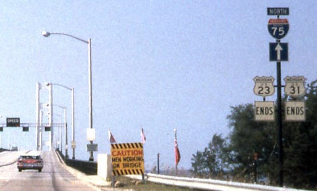
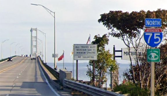
That was the case until about 1990, when US 23 and 31 were truncated to their current endpoints. US 27, on the other hand, was initially signed across the new bridge, ending at US 2 in St. Ignace. That lasted only until I-75 was signed across the Bridge a couple years later -- at that point US 27 was briefly cut back to Mackinaw, and then in 1962 it was truncated further, to Grayling (where US 127 ends today).
Research and/or photo credits: Jim Lindsay; Mike Roberson; Dale Sanderson; Gary Voshol
Page originally created 2006;
last updated Jun. 14, 2022.
last updated Jun. 14, 2022.
