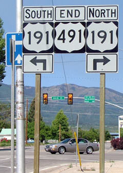
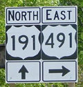
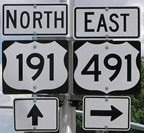
Current and historic US highway endpoint in Monticello, UT
|
The Four Corners region has seen an inordinate amount of changes in terms of its US highway designations. Here is the history as it relates to endpoints in Monticello:
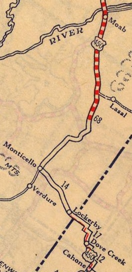
When the US routes were commissioned in 1926, US 450 served Cortez CO, Monticello and Moab UT, ending at (actually near) Crescent Jct. UT (which is now at exit 180 on I-70, northwest of Moab): |
US 666 began at Cortez, heading south through Towaoc CO and Shiprock NM. At the time, Monticello-Bluff UT-Kayenta AZ was not on the US highway system, and neither was Towaoc-Mexican Water-Kayenta-Tuba City AZ.
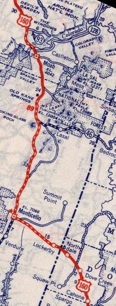
In 1934, US 450 was replaced by an extended US 160. Nothing else changed: |
|
So for over 40 years -- up until 1970 -- no US routes ended in Monticello.
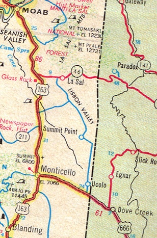
But then US 160 was truncated at Cortez, and was routed instead through Towaoc-Mexican Water-Kayenta-Tuba City. The US 666 designation was extended north from Cortez along old US 160 to Monticello. However, old US 160 from Monticello to Crescent Jct. was assigned a new number: US 163. That designation was also extended south from Monticello, through Bluff, ending at the new 160 in Kayenta:
|
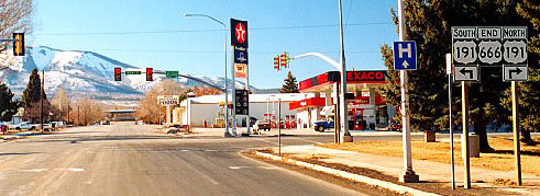
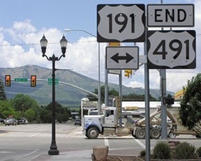
In 1982, US 191 was extended south from Yellowstone National Park. In Utah, it was overlapped with US 163 from Crescent Jct through Moab and Monticello to Bluff, where it split off and went due south, meeting US 160 at Mexican Water. The next year -- apparently viewing this as an unnecessary concurrency -- UDoT removed the US 163 signs north of Monticello. Two years later, they were removed north of 163's current terminus at Bluff (although apparently AASHTO did not approve these truncations until 2008). By that time, US 666 had been decommissioned and replaced with the US 491 designation (that change took place in 2003). So Monticello has marked the endpoint of three different US routes over the years:
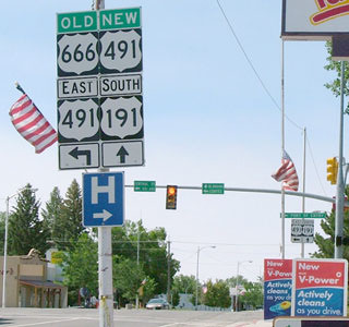
Those were all looking west on Center Street; US 191 is routed across the intersection at the light, Main Street (those are the Abajo Mountains in the distance). That US 666 sign was changed by September 2003. Not only have US 666 and 491 ended there, but also the north beginning of US 163 (as signed) was to the left for a few years.
|
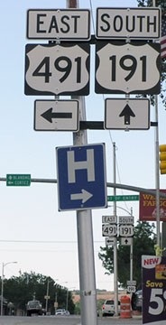
All signage at this junction was replaced just a few years after US 666 was changed to US 491: the two-digit shields were replaced with three-digit versions, and at the same time all references to "Old US 666" were removed. Here we are looking south on US 191:
|
|
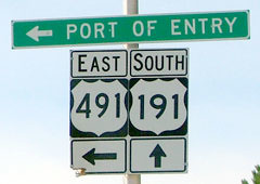
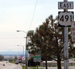
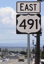
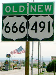
Historically US 163 began straight ahead (at least according to UDoT's signage). US 666 formerly begin to the left, but now that is the west beginning of US 491 (at the time of these photos, the highway was signed east-west in Utah). If a traveler takes that left turn, they will soon see a confirming marker, and beyond that was formerly an assembly attempting to clear up any lingering confusion:
|
Research and/or photo credits: Paul Dienhart; Chris Elbert; Jeff Jensen; Bruce Kasprzyk; Dale Sanderson; Thomas Silas
Page originally created 2003;
last updated Dec. 1, 2018.
last updated Dec. 1, 2018.
