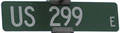
End of historic US highway 299
|
|
|
The east end of US 299 was in Alturas, at its junction with US 395:
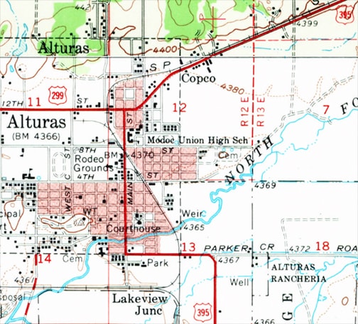
c. 1961, USGS
|
This photo was taken looking east on today's CA hwy. 299:
Elbert, July 2004
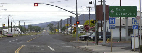
That is where US 299 ended (although today CA 299 is overlapped ahead with US 395 for a few miles before branching off on its own again). If a driver were to continue ahead, they might notice a street sign like this one...
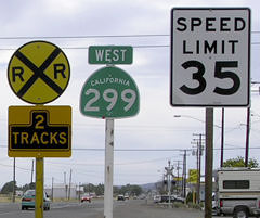
Elbert, June 2005
...which is interesting because -- although that is CA 299 -- US 299 never went east of the junction with US 395.
|
|
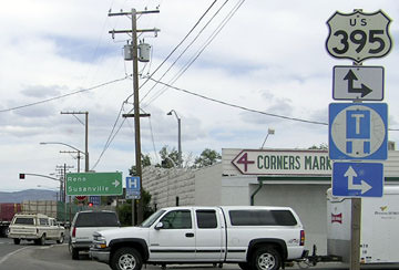
Heading north on US 395, this perspective shows where US 299 historically began to the left:

Elbert, June 2005
|
Heading the opposite direction, there was no signage alerting drivers to the fact that US 395 traffic must turn left...
Elbert, June 2005
|
|
The west end of US 299 was at its junction with US 101 at Arcata. Today's routes have a freeway-to-freeway interchange, but that was not built until about 1955. Prior to that, US 299 connected to US 101 just to the south of the current interchange:
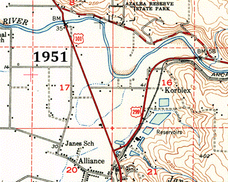
USGS
|
US 299 ran along what is now a dead-end road called West End Court. This interactive image is looking along the westernmost stretch of historic US 299, just before its original junction with US 101, which was located just beyond the tree straight ahead:
|
|
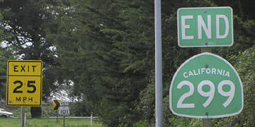
In about 1955, US 299 was changed to its current alignment. These photos were taken heading west at the interchange of what is now CA 299 and US 101, and they show where US 299 ended after this interchange was opened to traffic:
|

Elbert, March 2005
|
Elbert, March 2005
|
These photos were looking north on US 101. Today CA 299 begins to the right, but historically that was US 299:
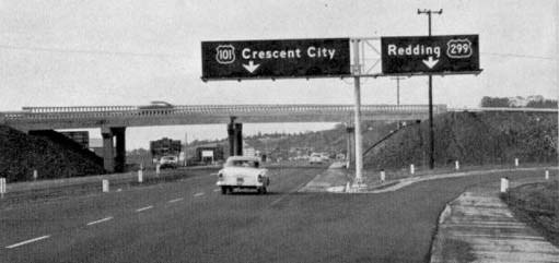
(date and attribution unknown; linked to source)
|
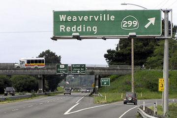
Elbert, March 2005
|
Research and/or photo credits: Chris Elbert; Jeremy Lance; Dale Sanderson; Michael Summa
Page originally created 2000;
last updated Dec. 4, 2023.
last updated Dec. 4, 2023.
