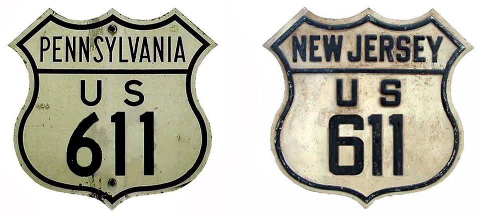
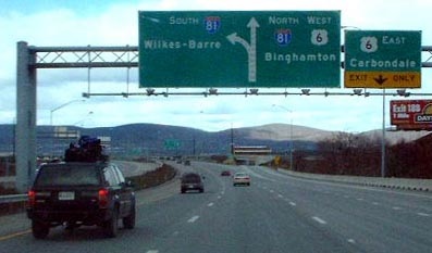
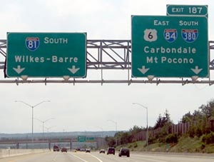
End of historic US highway 611 |
|
1926-1971
US 611 was approximately 130 miles in length.
|
|
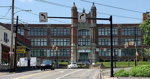
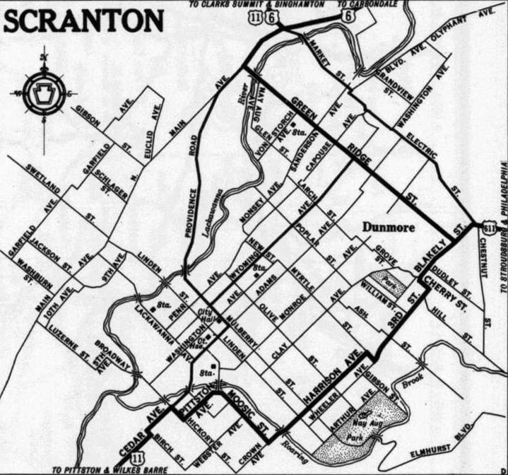
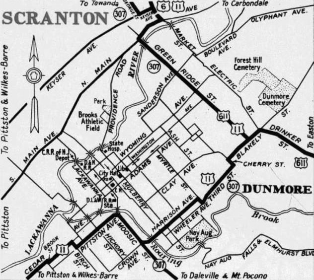
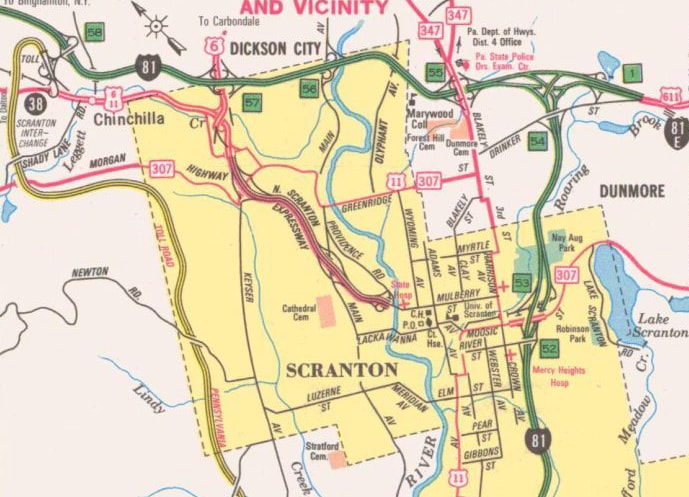
US 611 was part of the original 1926 system (although it was not listed in AASHO's 1927 route log, but I suspect that was simply an oversight). It never left Pennsylvania, and its south end was always in Philadelphia. The north end of US 611 was always in Scranton, but its location shifted quite a few times during its 45 years of existence. Originally US 611 came into town via what is now PA hwy. 435, connecting with Drinker Street, and at Blakely Street it turned south. US 11 left Scranton via Main Avenue, so US 611 was directed west on Green Ridge Street, ending at Main. That intersection is shown in this image:
|
|
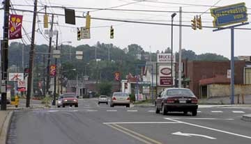
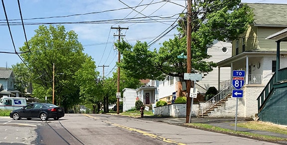
So then US 611 ended at the location shown in this photo, which is actually in the town of Dunmore, looking west on Blakely at Green Ridge. Eastbound US 11 traffic came towards the camera on Blakely, then continued to the right on Green Ridge, so the car in the foreground is at an historic north end of US 611:
|
Up until the time when US 611 was decommissioned in 1971, that was its north beginning. Here is that agenda item from the minutes of AASHO's Dec. 1971 meeting:
Research and/or photo credits: Chris Elbert; Fran Festa; Doug Kerr; Jeff Kitsko; Steven Nelson; Alex Nitzman; Dale Sanderson; Michael Summa
Page originally created 2002;
last updated Dec. 7, 2023.
last updated Dec. 7, 2023.
