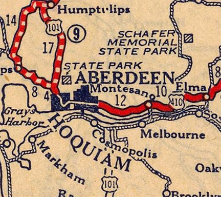
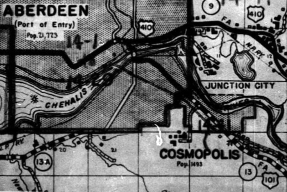
Current and historic US highway endpoints in Aberdeen, WA
|
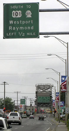
This interactive image is from South Aberdeen, looking north from the intersection of Boone and Curtis streets:
|
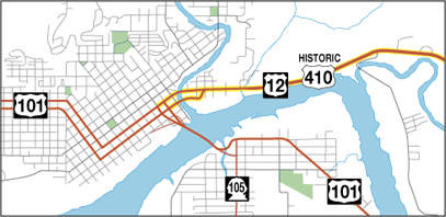
The road going off into the distance was the original bridge approach; one of the support structures is visible. That bridge landed in East Aberdeen, meeting Wishkah Street between Chehalis and Tyler streets. At that point, US 101 turned west on Wishkah, while to the east was the beginning of US 410. There is really nothing relevant to photograph there anymore, as the entire area has now been converted to a shopping area.
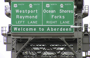
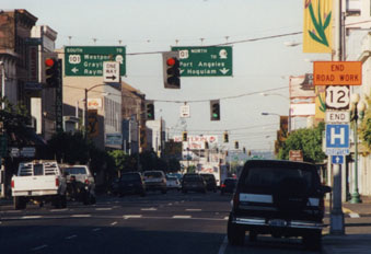
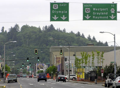
The current bridge was built in 1955, so US 101 traffic was directed straight into central Aberdeen. In 1967, the 410 designation was decommissioned in favor of an extended US 12, the west end of which has been in Aberdeen ever since. This photo was looking down the final westbound stretch of US 12/historic US 410: |
|
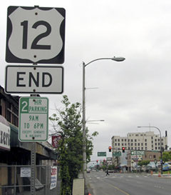
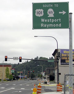
The intersection with G Street (the first traffic signal above) is where northbound US 101 comes in before continuing west on Wishkah. But southbound 101 uses H Street, which is the next intersection, and that is technically where westbound US 12 ends (and where US 410 ended historically). The signage at that intersection is shown close-up here:
|
|
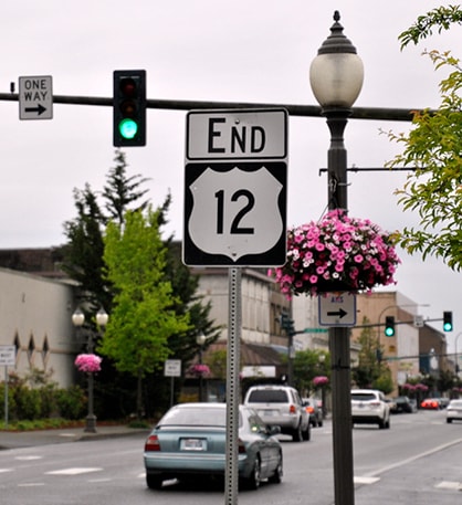
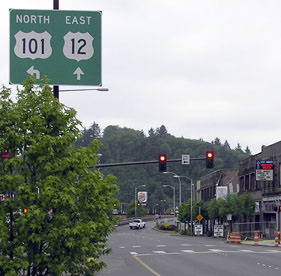
That was at H Street, where eastbound US 12 begins. US 410 may have begun here too, during part of its existence (depending when Aberdeen converted to one-ways), but the original route through town was on Wishkah. One block ahead is the sign shown here:
|
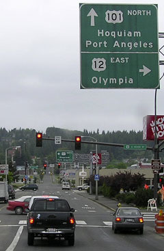
That is G Street, or northbound US 101. This photo was approaching the same intersection, but this time from northbound US 101 (northwest on G Street):
|
For travelers heading this direction, the west beginning of US 12 is to the right on Heron. Olympia is 50 miles distant, and Detroit is another 2400 miles or so beyond that.
Research and/or photo credits: Nathan Edgars; Chris Elbert; Bruce Kasprzyk; Dale Sanderson; Stephen Taylor
Page originally created 2000;
last updated Mar. 7, 2017.
last updated Mar. 7, 2017.
