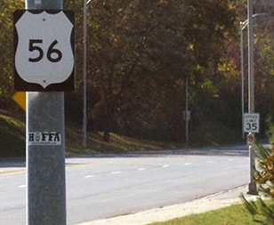
End of US highway 56 |
|
1956-1960
|
1960-1964
|
1964-present
|
Mileage: in 1989 AASHTO listed a figure of 643 miles for US 56... however, that included the mileage of US 56's associated business route. According to the state subtotals on AASHTO's 1989 spreadsheet, mainline US 56's actual end-to-end total at the time was 640 miles. That closely matches our own 2020 measurement, which yielded 639.0 miles. During the brief time it went to Independence, US 56 was 656.6 miles long.
US 56 is a relative late-comer; it was not commissioned until 1956. Its west end has always been in Springer. From US 85 in Springer, US 56 was signed eastward on the road that was formerly designated NM 58. At Clayton, US 56 joined with US 64 and entered Oklahoma. But the diagonal highway between Boise City and Elkhart KS was not opened to traffic until 1961. So prior to that, US 56 remained with US 64 east to "Four Corners" (the junction south of Eva), then north on OK 95 to Elkhart.
|
From there, US 56 replaced what had been K-45 all the way to Great Bend. Part of that 200-mile diagonal stretch included formerly dual-signed segments with US 50-S (from Dodge City to Kinsley) and US 50-N (from Larned to Great Bend). But one of the reasons the US 56 designation was invented (along with US 156) was to eliminate US 50's split route in Kansas. From Great Bend, US 56 replaced the 200-some-mile segment of US 50-N east to Baldwin City. At the same time, the entirety of US 50-S (350-some miles from Garden City to Baldwin) was redesignated as part of mainline US 50.
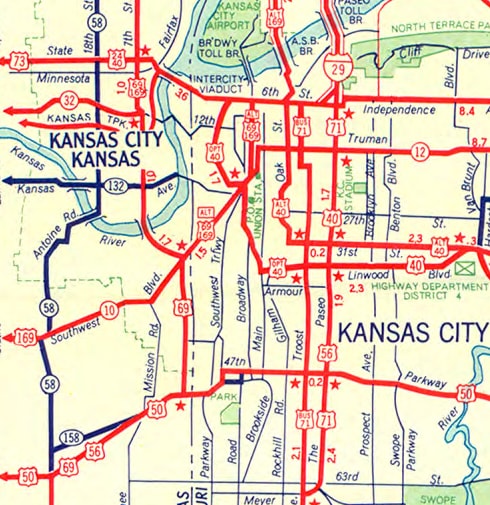
Since US 50-N and US 50-S had ended at Baldwin (with only US 50 continuing eastward), US 56 could have ended there as well. But it seems Kansas must have wanted the designation to go all the way through their state, because they overlapped US 56 with US 50 the rest of the way to the state line, entering Kansas City MO. In Missouri, US 56 was entirely co-signed along already-existing US routes. Nearly 50 miles east of Baldwin, US 56 finally left US 50, but it immediately jumped on US 71 (which followed The Paseo at the time): |
|
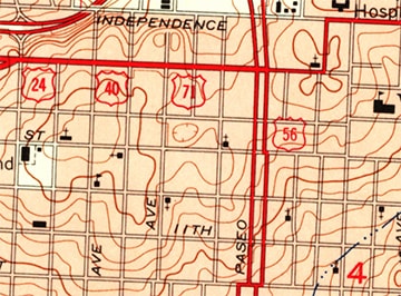
That map does not make it clear how far north US 56 went on The Paseo. However, AASHO documentation specifies that it was to terminate at its junction with US 24, which was on Admiral Boulevard. A contemporary USGS map corroborates that:
|
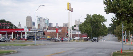
This photo was looking west on Admiral -- to the left (south on Paseo) was the short-lived east beginning of US 56...
...but in late 1960 AASHO approved an extension of the designation east on US 24 to Independence:
|
Included in Missouri's application for the extension was this paragraph explaining why they wanted US 56 to begin in Independence:
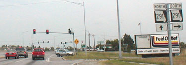
MO 291 was formerly designated as "US 71 Bypass", and that is where US 56 ended for about four years. But apparently the rationale given above quickly became obsolete, because in 1964 the US 56 designation was truncated back to the central part of Kansas City (with signs perhaps not being changed until 1966).
|
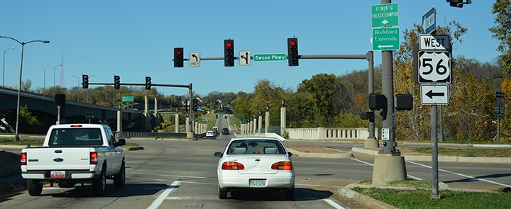
For a brief time US 56 ended on what is now Emanuel Cleaver Boulevard (nee Brush Creek Blvd) at the Paseo. But in 1967, US 71 traffic was redirected to follow Prospect Avenue. So US 56 was extended across Brush Creek (via a bridge that no longer exists), aligning it with Swope Parkway, where it ended at Prospect:
|
|
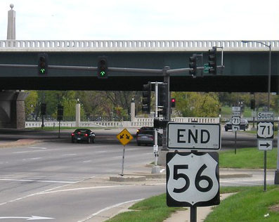
In 1979 US 50 traffic was directed to use I-435 and I-470 across the southern city limits. When that happened, US 56 was finally on a solo route in Missouri (albeit less than four miles). Then, when today's US 71 freeway was complete through the area in about 1997, US 56 was truncated a few blocks to end at that interchange:
|
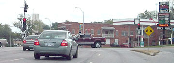
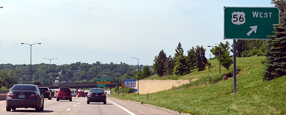
All mainline US 56 shields along its brief stretch through Missouri are horizontally condensed. And even though Swope/Volker Blvd/Ward Pkwy are complete all the way along the banks of Brush Creek now, US 56 traffic is still diverted to the historic routing north of the creek: along 47th Street through the Country Club Plaza area. A 2007 report noted, "For a 3.3-mile stretch of road, US 56 in Missouri has a very convoluted route and is poorly signed, with undersized arrows and no arrow warning of the last turn before Kansas. There is a shield right before the fork with Ward Parkway, but no indication of which way to go." The lack of signage and the inefficient routing makes one suspect that MODoT has no particular interest in the US 56 designation, which might explain why the route ends at the first possible intersection with another US highway. But it may go deeper than that: US 56 is not even listed in MODoT's route log, suggesting that the Missouri segment might actually be city-maintained... which in turn might explain the non-MUTCD-compliant route shields.
Research and/or photo credits: Brent Ivy; Joe Meesey; Jeff Morrison; Alex Nitzman; Ben Prusia; Dale Sanderson; Michael Summa
Page originally created 2000;
last updated Apr. 7, 2022.
last updated Apr. 7, 2022.

