End of US highway 96
 Mileage: in 1989 AASHTO listed a figure of 170 miles for US 96. That closely matches our own 2020 measurement, which yielded 165.4 miles (reroutings and realignments likely explain the difference).
|
|
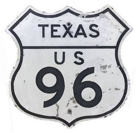
Texas has a few oddball intra-state US routes, and US 96 is one of them. It runs about as north/south as they come, but it has an east/west number. Compare that with US 57: even though it clearly runs east/west, it has a north/south number, and it is signed north/south, too. The universe would be much more harmonious if the numbers on these two routes could be switched. In fact, if those two numbers were reversed, they would fit so perfectly into the "grand design" of the US route numbering system that one has to wonder whether some kind of mistake was made, in which the two route numbers were accidentally switched and assigned to the wrong highways. But the fact is, US 96 had been around for decades before US 57 was commissioned in 1970... and US 57's number came from the route it replaced: TX 57 (which in turn came from Mexico hwy 57, to which it connects). In the opinion of US Ends .com, US 96 should be renumbered... but not as US 57 (click here for details).
|
Today's US 96 was commissioned in 1939, the same year US 96[i] was retired. It was signed along the highway which since 1934 had been designated US 59 between Tenaha and Port Arthur (which explains where the number "96" came from: Texas simply re-applied its old number to a route that needed a new number). The south end of US 96 was (and still is) in Port Arthur.
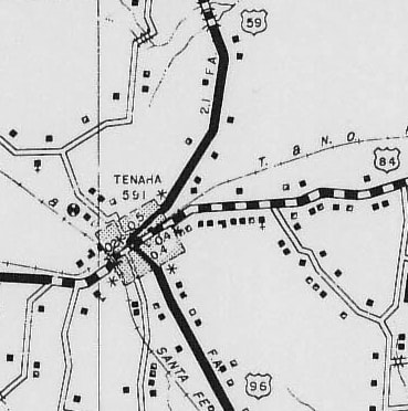
Likewise, the north end of US 96 has always been in Tenaha. However, the exact location of the terminus has changed. Originally, US 96 came into town on Center Street, which is now designated Loop 157: |
c. 1940, TXDoT
|
|
The route ended at its junction with Bowers Drive, which carries US 59 and US 84. This photo was looking west on Bowers (south US 59 / west US 84). Historically southbound US 59 came from the right and continued to the left along the crossroad (Center), but in 1939 when southbound traffic was redirected to continue straight ahead, a left turn here became the north beginning of US 96:
|
Mortell, Aug. 2020
|
|
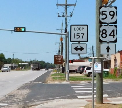
In about 1986, a bypass was completed around the south and east sides of town. US 96 traffic was rerouted onto the bypass, so the terminus changed. Right about where the bypass separates from US 59's original route (Loop 157) the last northbound US 96 confirming marker is posted:
|
Sanderson, Mar. 2023
|
|
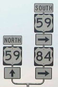
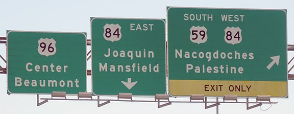
These photos show the current north end of US 96 in Tenaha, at its junction with US 59 and US 84:
|
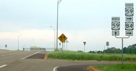
Cozart, Apr. 2003
Cozart, Apr. 2003
|
Sanderson, Mar. 2023
|
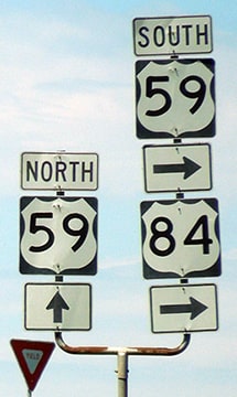
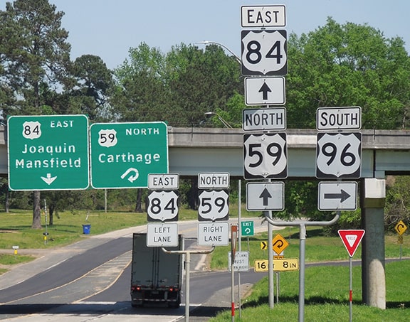
In the following photos, we are looking south on US 59. To continue on US 59, drivers must exit, but if a traveler continues straight, they will soon be on the north beginning of US 96:
Cozart, Apr. 2003
|
Sanderson, Mar. 2023
|
|
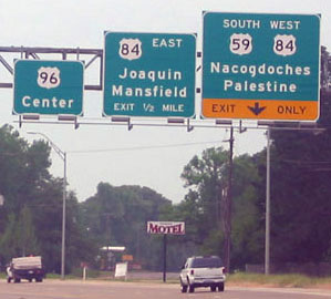
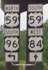
Here are the assemblies for the beginning of US 96 as seen from US 84 westbound and eastbound, respectively:
|
Sanderson, Mar. 2023
|
|
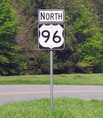
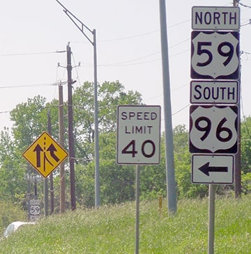
Drivers heading south from that point will soon see the first southbound confirming marker:
|
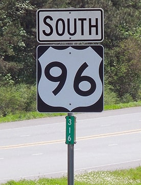
Sanderson, Mar. 2023
|
Research and/or photo credits: Justin Cozart; Josh Lintz; Robert Mortell; Dale Sanderson; Michael Summa
Page originally created 2001;
last updated Apr. 4, 2023.
last updated Apr. 4, 2023.
