End of historic US highway 96 [i]
|
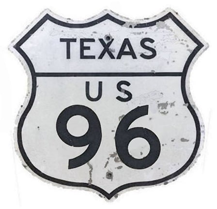
Today's US 96 is actually the second route to carry that number. This page is about the original US 96, which was there in the beginning, commissioned in 1926. Despite its east-west number, it ran north-south... which ironically is also the case with modern US 96. It is a little easier to justify the number for US 96 [i], which could have been construed to run east-west along the Gulf Coast shoreline (even though that shoreline is north-south in Texas).
|
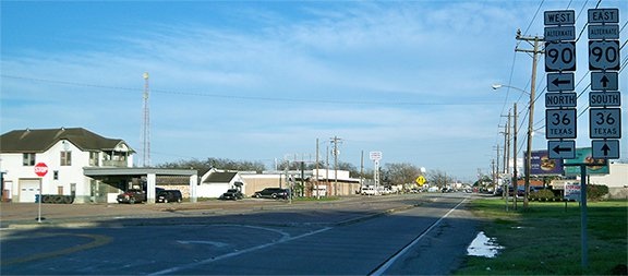
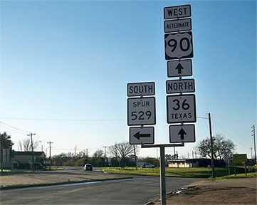
The north terminus of US 96 [i] was in Rosenberg. It followed what is now US 59 up to where that becomes a bypass around the town. From there, traffic continued northeast on the same alignment (via what is now Spur 529) to its terminus at US 90 (which is now Alternate US 90). This photo was looking northeast on 529:
|
The south end of US 96 was originally in Brownsville. But in 1934, the US 96 designation was changed such that, from Alice, it went to Laredo instead of Pharr (the original route of US 96 between Alice and Pharr became part of a newly-commissioned southern segment of US 281). At that point US 96's east-west number made a little more sense (although it is unclear whether the highway was signed east-west). So, from then until its decommissioning in 1939, the other end of US 96 was in Laredo. The map below shows the entire route, during the final year of its existence:
Research and/or photo credits: Karin and Martin Karner; Dale Sanderson; Michael Summa
Page originally created 2001;
last updated Aug. 16, 2023.
last updated Aug. 16, 2023.


