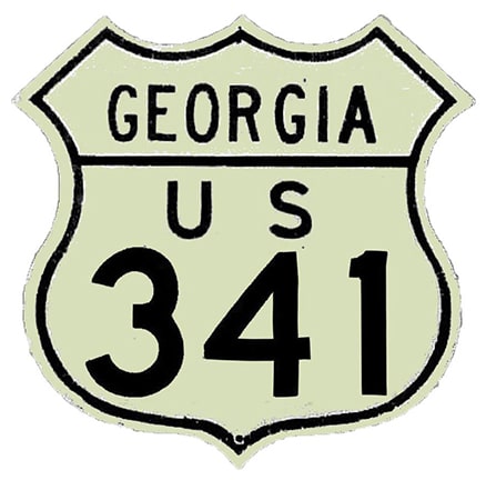
End of US highway 341 |
 |
|
|
|
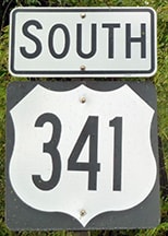
The south end of US 341 has always been in Brunswick. It comes into town having been overlapped with US 25 all the way from Jesup -- a distance of about 40 miles. At first, US 341 probably ended north of downtown at Dock Junction (as did US 25 after 1936), where those routes met US 17 (photos and more info on the Brunswick page). North from there, US 25-341 traffic has long since been moved off Old Jesup Road, instead following New Jesup Highway. To the south, US 25-341 traffic was originally directed through Brunswick on Norwich Street, but today bypasses the downtown area via Bay Street. US 25 splits off onto Gloucester Street, while US 341 continues about a mile further south on Bay, returns to Newcastle, and then heads east on Fourth Avenue. The last southbound trailblazer was posted at Newcastle:
|
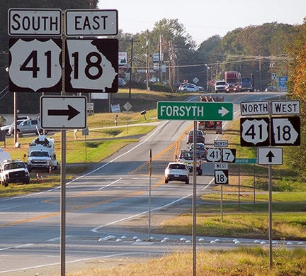
Karners, Jan. 2017
|
|
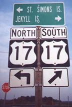
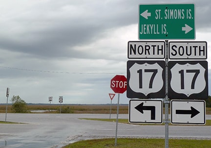
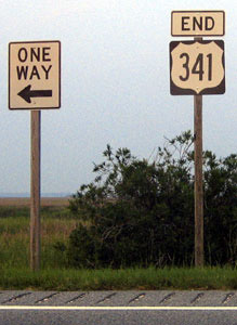
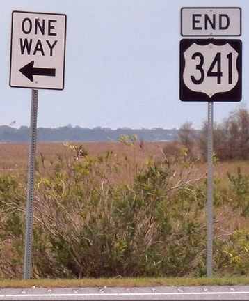
Both US 341 and US 25 end at their junctions with US 17, or Glynn Avenue. These photos show the assemblies posted on eastbound Fourth at Glynn:
|
Allen, 2000
|
Karners, Jan. 2017
|
|
In that last photo, on the far side of the divided highway, an "End" assembly is visible, shown close-up in these photos:
Nitzman, July 2004
|
Karners, Jan. 2017
|
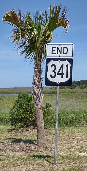
Mortimer, May 2023
|
|
This sign is posted on northbound Glynn, just before its intersection with Fourth...
|
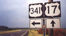
Allen, 2000
|

Karners, Jan. 2017
|
|
...and if one takes that left turn, the first northbound confirming marker is soon visible:
|
Nitzman, July 2004
|
Karners, Jan. 2017
|
|
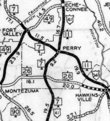
Originally the north end of US 341 was at its junction with its parent (US 41) in Perry:
|
c. 1935, GA DoT
|
This photo was looking north on US 41; historically the north beginning of US 341 was to the right:
|
Nelson, Aug. 2005
|
|
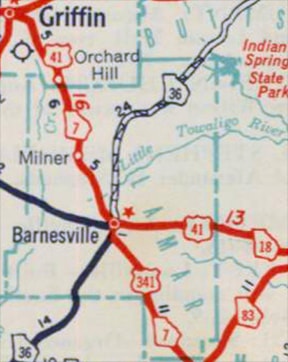
In 1948 the north end of US 341 was extended about halfway to Atlanta, ending at US 41 in Barnesville:
|
c. 1950, GA DoT
|
At the time, the current bypasses had not been built, so US 341 came into town on Murphy Avenue and then turned north on Thomaston Street, ending where it met US 41 downtown:
Sanderson, Nov. 2017
|
|
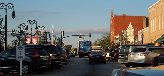
That was looking north on Main (which turns into Thomaston about a block behind the camera). The signal is at Forsyth Street, which historically carried US 41 traffic, so that shows the perspective of a driver at an historic north end of US 341.
To the left was northbound US 41, which after one block was directed to angle northwest on Atlanta Street. Heading that direction out of town, after about 1.5 miles travelers reach the perspective shown here: |
Sanderson, Nov. 2017
|
|
That is looking north on historic US 41, which originally continued straight ahead along the now-disconnected segment that curves left behind the trees in the distance. Over the years, nearly all of US 41 between Barnesville and Atlanta has been changed from its original alignment. It was perhaps in the 1970s that the four-lane (cutting diagonally across the photo) was built. At that time, northbound US 41 continued by angling to the right on the divided highway, while the four-lane to the left was designated as an extension of US 341. Heading from left to right along the divided highway, the sign assembly shown here was formerly posted:
|

Nelson, Aug. 2005
|
|
Northbound US 41 was (and still is) straight ahead; downtown Barnesville is to the right via what was then southbound US 41. Here was the view looking the opposite direction (south on US 41):
|
Nelson, Aug. 2005
|
Back then, the mainline became US 341, while US 41 traffic had to take a left turn on Atlanta St. Just ahead was the first southbound confirming marker:
|
Nelson, Aug. 2005
|
|
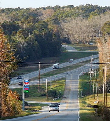
Not long after those photos were taken, another bypass was completed, this one in the southeast quadrant of Barnesville. At that time US 41 traffic was changed, such that it now follows the former US 341 down to the junction with the new bypass. This image was looking southeast on US 41:
|
Sanderson, Nov. 2017
|
|
Formerly that was US 341, but now it is US 41, which continues to the left on the new bypass to connect with its original alignment. US 341 has been truncated by about four miles, such that it now begins straight ahead. The first southbound confirming marker is visible in the distance, and is shown close-up here:
|
Sanderson, Nov. 2017
|
|
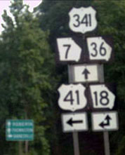
The signs shown here are for the benefit of drivers heading southwest on the new bypass, or northbound on US 41:
|
Sanderson, Nov. 2017
|
|
The intersecting highway was once US 341, but now it is northbound US 41 that continues to the right. To the left is the north beginning of US 341.
This image is from northbound US 341, approaching the new bypass, onto which signage directs southbound US 41 traffic. Formerly US 341 continued ahead, but now it ends here, and straight ahead is northbound US 41: |
Sanderson, Nov. 2017
|
Research and/or photo credits: James Allen; Karin and Martin Karner; Herman Mortimer; Steven Nelson; Alex Nitzman; Dale Sanderson; Michael Summa
Page originally created 2000;
last updated Jun. 18, 2023.
last updated Jun. 18, 2023.
