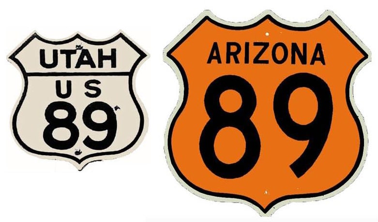
End of US highway 89 |
1926-1934
|
1934-1992
|
1992-present
|
As of 2020, US 89's official length was 1239 miles (with an additional 94.8 implied miles through Yellowstone National Park, bringing the end-to-end total to 1333.8 miles). Historically, when it went to Nogales, US 89 was 1655 miles long (or 1749.8 end-to-end).
|
|
Possibly that was westbound US 50 (which continued to the right with US 91) and northbound US 89 (which ended there).
In 1934 the north end of US 89 was extended to its present terminus on the Canada border in Montana, at a port of entry called Piegan. All during that time, the south end of US 89 was at the Mexico border in Nogales AZ: |
Here is a nice (but unfortunately copyrighted) photo showing the south end of US 89 in 1955. In 1992 US 89 was decommissioned through much of Arizona; since then the south end has been at Flagstaff. Technically -- since US routes are not signed through Yellowstone National Park -- US 89 consists of two separate segments. Photos from its interruption points are available on the pages for North Yellowstone and South Yellowstone.
Research and/or photo credits: Dale Sanderson; Faye and Sandy; Michael Stewart; Michael Summa
Page originally created 1999;
last updated Aug. 18, 2019.