The photo below was taken looking east along the international boundary between Canada (to the left) and the U.S. (right). The large structure (with the flags on top) is the Peace Arch, which straddles the border. (It is not square to the boundary line; rather it is situated at a slight diagonal that roughly matches the angle of the roads that run through here.) If you look closely, you can see three boundary obelisks in the foreground:
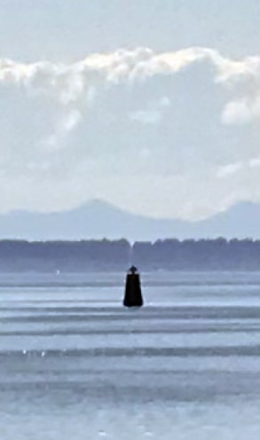
Note the nearest obelisk (the one with a stone marker on its base) and the middle obelisk (the one that has "TREATY 1925" engraved on it). In the photo below, my camera was resting on top of that middle obelisk, but looking the opposite direction. Straight ahead, towards the bottom of the photo, the other side of the obelisk with a stone marker is visible. So again we are looking directly along the international boundary line between the U.S. (this time to the left) and Canada (right). And if you mentally extend that line straight out into Semiahmoo Bay, you can see a small dark shape in the water (towards the top of the photo). That is a boundary buoy:
Beyond that buoy, on the other side of Boundary Bay, is a landmass; that is part of a peninsula called Point Roberts. The portion of Point Roberts to the south of the 49th parallel belongs to the U.S. (even though the only way to get there on land is to pass through Canada). If we zoom in on that portion of the photo above (even though it's about 13 miles away, and lighting conditions were not optimal) we can still just make out the border slash cut through the trees on Point Roberts:
The land to the left of the border is Point Roberts, Washington, U.S. The land to the right is part of Tsawwassen, British Columbia, Canada. The hazy mountains in the distance are on Vancouver Island (which is all a part of British Columbia, despite the fact that some of it extends south of the 49th parallel).
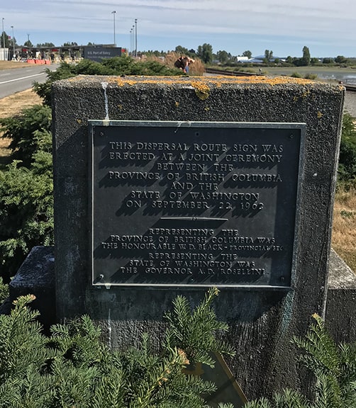
From that camera location, if we turn to the left and walk a few steps south, we find another marker:
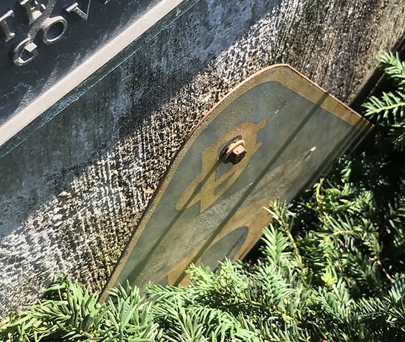
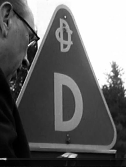
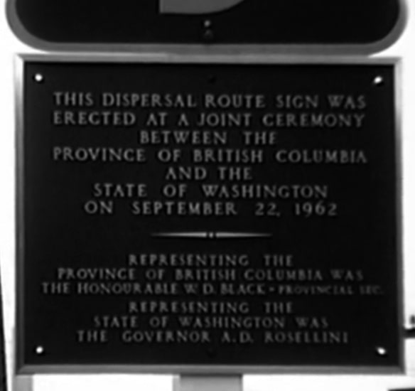
It refers to a "dispersal route sign", which was confusing at first, because the marker is surrounded by bushes, and the sign itself was almost completely hidden. You can see a small part of it towards the bottom of the photo above, and in the photo below I was holding the branches back out of the way:
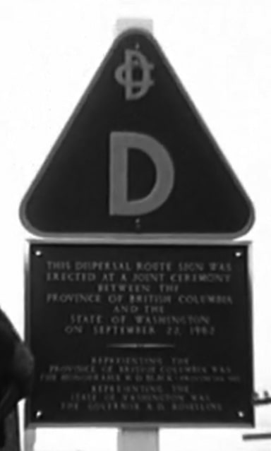
I was curious about that marker, so I did some searching and found this video from 1962. The screen captures below are from that video, and they show both the plaque and the marker when they were new:
Basically, that was a cooperative program between the two countries that would allow the border to be opened up in the event of some catastrophe (like a nuclear attack) that might create a need for a mass population "dispersal" from one country to the other. I don't know whether the agreement is still in place, or if it has lapsed. Are other markers like the one shown above still posted along roads surrounding the border crossing? If you are aware of any, please comment below.
3 Comments
JAMES LINDSAY
8/15/2021 02:00:16 pm
If you look really closely, you will see a cleft in the trees above the boundary buoy. That is the cleared land along the land border of Point Roberts. I've seen it live with a telephoto. Beyond that are the mountains on Vancouver Island, all Canada on the other side of Point Roberts, a few hundred yards into the Salish Sea where the 49th parallel boundary ends to turn south on a jagged path to the Strait of Juan de Fuca.
Reply
David Banks
2/19/2023 04:20:51 pm
One minor and one major quibble.
Reply
2/19/2023 04:30:55 pm
Thank you for setting me straight, both corrections made!
Reply
Your comment will be posted after it is approved.
Leave a Reply. |
AuthorCategories
All
Archives
July 2024
|


 RSS Feed
