|
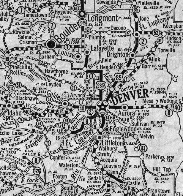
Prior to I-25, there was a different main highway that connected Denver to several of the Northern Front Range cities in Colorado. The number of this highway has changed a few times during the past century, but its general corridor has remained the same: it still runs through Ft. Collins, Loveland, Berthoud, Longmont, Lafayette, Broomfield, Westminster, and Denver. Not all of those cities had even been established at the time of the 1916 map shown below, but the highway corridor running along the Northern Front Range is readily apparent (going forward I will refer to this road as the NFRH, for "North Front Range Highway"):
2 Comments
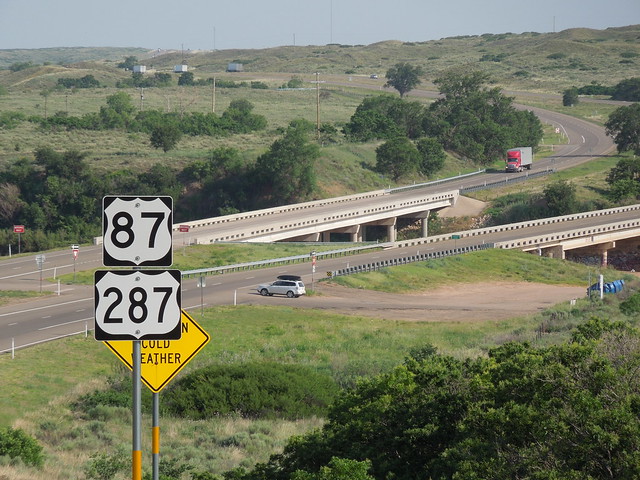
US 87 and US 287 converge in Dumas, Texas, and share about 49 miles of pavement down to Amarillo, where the two routes separate again.
(Last updated 2/28/2023)
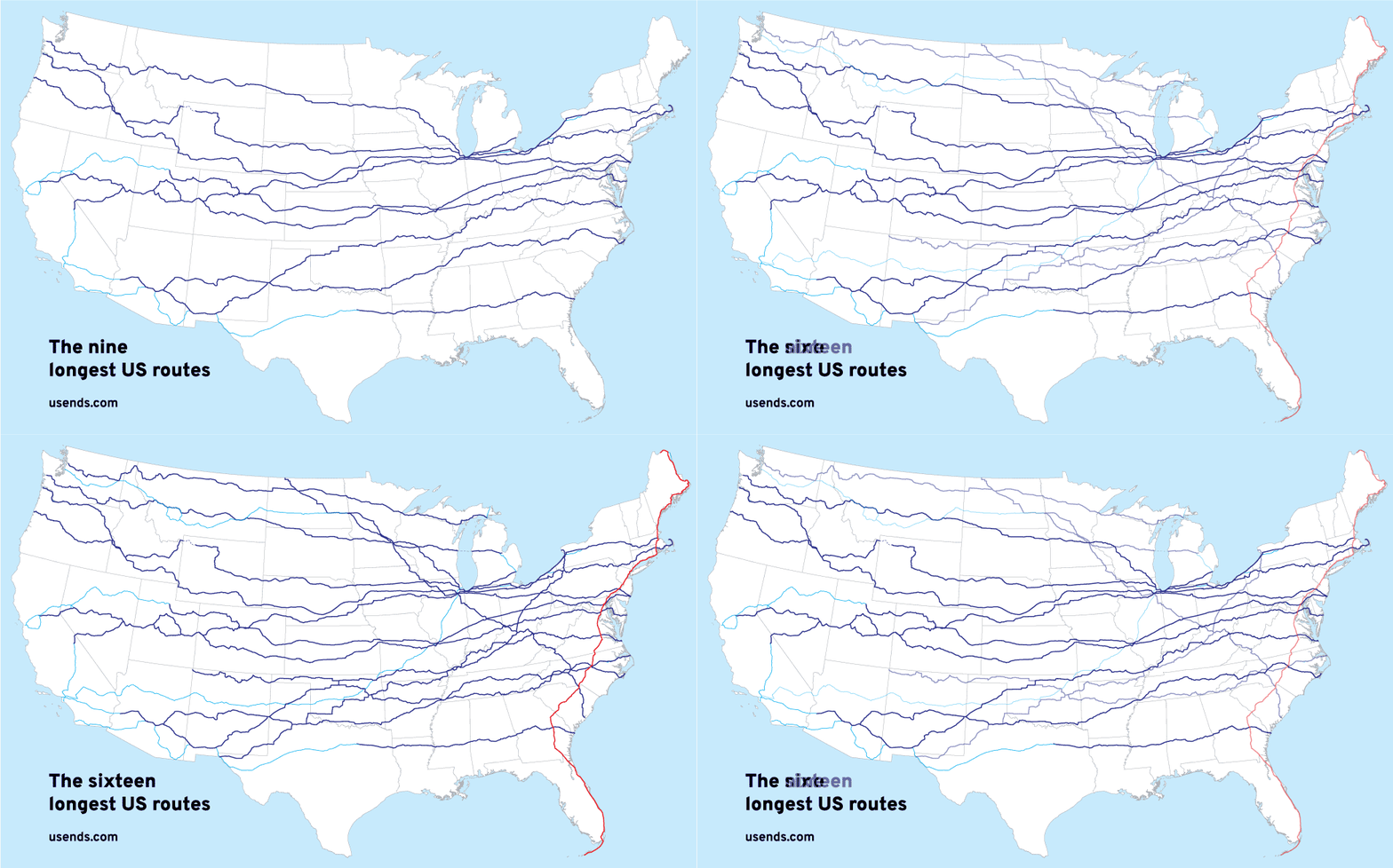
Of the "main" US highways (i.e. the one- and two-digit routes), the longest nine were all east-west routes (6, 20, 50, 30, 40, 60, 70, 80, 12). And if we take the longest 16 highways, only one of them is a north-south route (US 1, shown in red here):
That stands to reason, because the United States is roughly twice as wide from east to west as it is from north to south. So it makes sense that there would be more long east-west routes.
(Most recently updated 3/5/2022.) Today, Denver is served by seven different US routes (shown above), but when the US highway system was first commissioned in late 1926, only three routes went through Denver. AASHO officials acknowledged the city's importance by placing it at the junction of a major north-south route (US 85, which ran from a Canadian port of entry almost to Mexico) and a transcontinental east-west route (US 40, which connected Atlantic City NJ to the San Francisco Bay Area):
|
AuthorCategories
All
Archives
July 2024
|


 RSS Feed
