|
The other day I was driving north on C-470, and I wanted to go east on the 6th Avenue Freeway towards downtown Denver. That movement is shown on the map below:
I rarely drive that direction along C-470, but I have lived in Denver for a long time, and I'm pretty confident about knowing my way around. So as I approached, I was quite certain that I would need to follow eastbound I-70, and that the exit for eastbound US 6 would come up shortly after that.
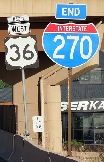
But then I saw this: the first sign that references US 6 on northbound C-470:
4 Comments
(last updated 10/3/2023)
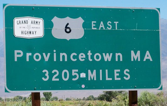
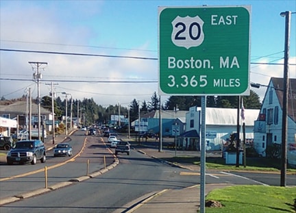
If you are familiar with the mileage signs posted at the terminus points of US 6 and US 20, you might point to those and say, "The answer is plain to see: US 20 is 160 miles longer than US 6."
If both of those signs were accurate, then obviously US 20 would be longer. But the fact is, only the US 6 sign is accurate, whereas the US 20 sign significantly overstates the true mileage. In reality, the mileages of the two routes are very close, and in fact there is every reason to believe US 6 is actually a slightly longer route.
(last updated 8/21/2020)
"One great red line"
For about a quarter-century, US Route 6 was the longest highway in the country (and it may still be, depending how one measures). In Jack Kerouac's novel On the Road, the main character described it as "one great red line across America". During those years it ran between Provincetown MA and Long Beach CA, and I believe there has never been a longer highway in the United States. Exactly how long was it? Well, believe it or not, the answer to that question is debatable (see this page for more details about why it is difficult to calculate).
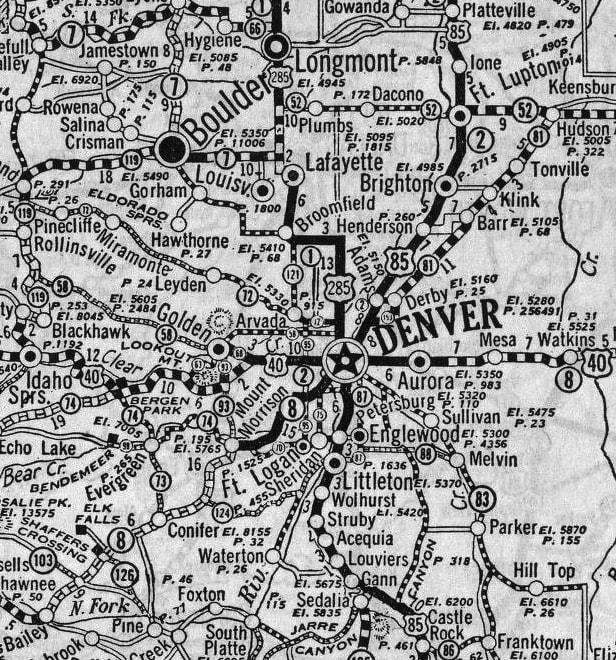
(Most recently updated 3/5/2022.) Today, Denver is served by seven different US routes (shown above), but when the US highway system was first commissioned in late 1926, only three routes went through Denver. AASHO officials acknowledged the city's importance by placing it at the junction of a major north-south route (US 85, which ran from a Canadian port of entry almost to Mexico) and a transcontinental east-west route (US 40, which connected Atlantic City NJ to the San Francisco Bay Area):
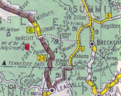
Shrine Pass was not considered to be a good candidate for development into a primary state highway, so US 6 traffic was directed further south from Copper Mountain, along today's SH 91. Drivers had to go over Fremont Pass and all the way down to Leadville. There, traffic was directed north (overlapped with westbound US 24) over Tennessee Pass and up to Minturn.
|
AuthorCategories
All
Archives
July 2024
|

 RSS Feed
