In 1926-27, when the US route system was first implemented, SH 1 (including this bridge) became part of US highway 85. In 1936 the US 87 designation was extended southward from Wyoming; it was twinned with US 85 between Denver and Raton NM, including through the Springs.
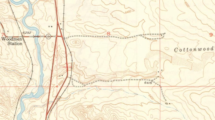
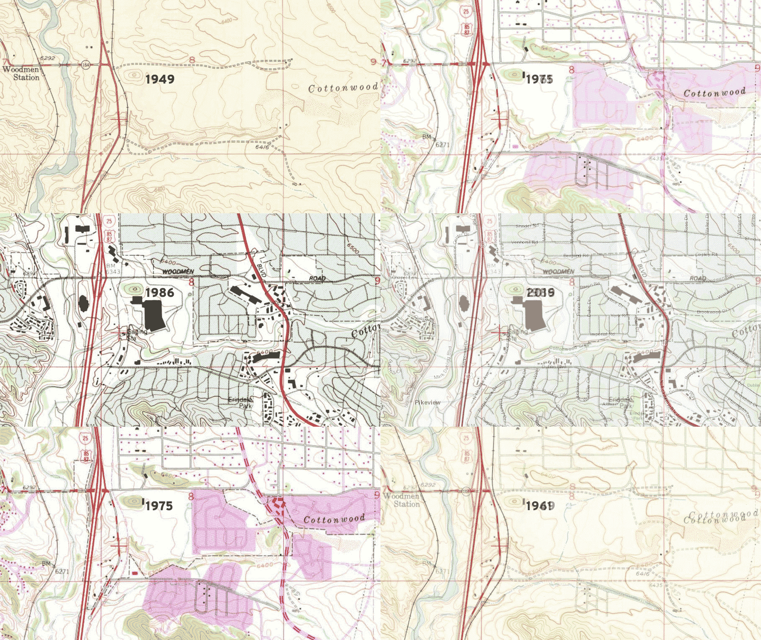
By the time of the 1949 topo, a new road had been built that crossed the creek just a little farther downstream (right where I-25 crosses today, just above the confluence where Cottonwood Creek flows into Monument Creek). This road ran in a straight line (rather than following the curve of the RR), but the original road and bridge were still in use as well. On all maps on this page, the location of the 1924 bridge is marked with a red crosshair:
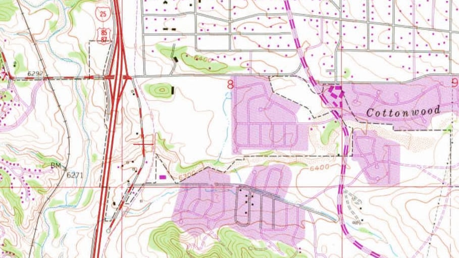
The 1961 topo shows that I-25 had recently been built, and it used the newer (straighter) alignment. The 1924 Vincent Dr bridge was still in use, but the road dead-ended just to the south, where its alignment was subsumed by I-25's right-of-way. So altogether this bridge carried US 85-87 traffic for about 33 years:
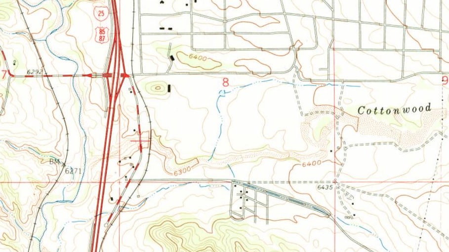
The 1975 topo shows the same thing, with the addition of encroaching development, and the subtraction of the RR line, which had been abandoned:
The 1986 topo still shows Vincent dead-ending south of the bridge, but it also shows that the City had begun to build roads along the former RR alignment:
The animated image below shows a comparison of all maps:
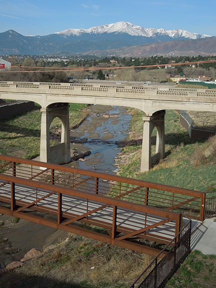
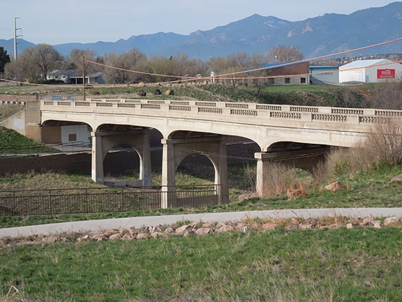
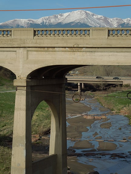
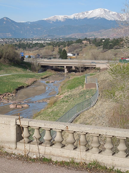
In 2001 the bridge was added to the National Register of Historic Places. In 2012 the old 1887 RR bridge was repurposed to carry auto traffic along a slightly-realigned Vincent Drive. At that time the 1924 bridge was closed to all users, including pedestrians. In both of these next photos, the I-25 bridges are visible just to the west:
0 Comments
Your comment will be posted after it is approved.
Leave a Reply. |
AuthorCategories
All
Archives
July 2024
|

 RSS Feed
