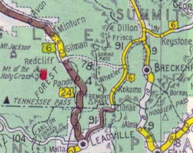
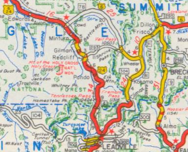
Shrine Pass was not considered to be a good candidate for development into a primary state highway, so US 6 traffic was directed further south from Copper Mountain, along today's SH 91. Drivers had to go over Fremont Pass and all the way down to Leadville. There, traffic was directed north (overlapped with westbound US 24) over Tennessee Pass and up to Minturn.
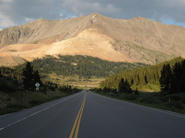
This photo was looking northbound on SH 91, but this road also carried US 6 traffic for about three years. This is north of Leadville, approaching the hairpin right before the final segment leading to the summit of Fremont Pass. I took this photo because this straightaway happens to be directly aligned with the summit of McNamee Peak (13,780'), a major triple watershed:
0 Comments
Your comment will be posted after it is approved.
Leave a Reply. |
AuthorCategories
All
Archives
July 2024
|

 RSS Feed
Copyright © 1998-2024
